

Apps Like Droniq Maps for iPhone and iPad
Ranked alternatives
Showing 281–300 of 1,000 ranked alternatives.

Airdata HD Sync
Airdata UAV, Inc.
Upload DJI logs to analyze drone health
Monitor drone performance by analyzing system logs and identifying potential issues. Upload DJI GO log files directly from mobile devices to .com without manual file transfer. logs automatically for detailed flight data review.

AI CFI: Flight Training Tools
KasTech Solutions LLC (U.S.)
Ask questions, take tests, train ATC communication
Ask questions and receive expert-style instruction using AI. Practice FAA exams, improve ATC communication, and access aviation study materials. Track progress and review theory resources for pilot licensing preparation.
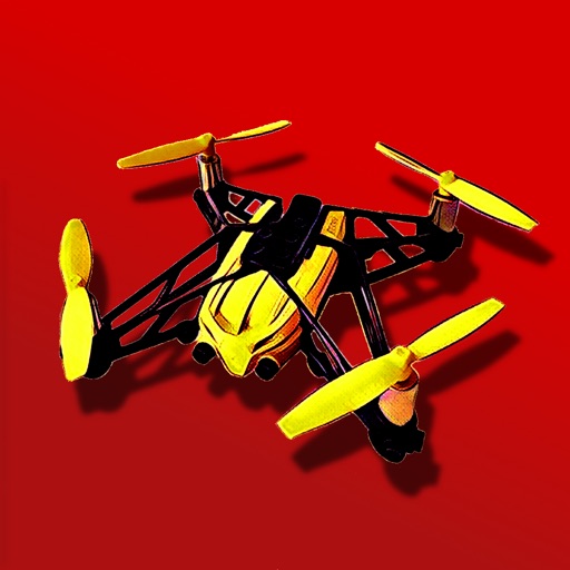
Mini PRO - for Parrot's minidrones
Michele Vagnetti
Fly, control, and bank your drone
Control a Parrot Minidrone with on-screen speed settings for adjusting flight behavior. Enable banked turns for automatic rolling during yaw movements. Activate headless mode for simplified flight orientation.


Sail Fiji Cruising Guide
Sail South Pacific Ltd.
Navigate waters offline
Navigate waters with preloaded charts for Western, Central, Eastern, and The Lau Group. Access local knowledge, route descriptions, waypoints, and anchorage details. Includes drone footage for visual guidance. No internet required.


NVS Tsunami Evacuation
IOOS Association
View maps and alerts in real time
View hazard zones along Oregon and Washington coasts. Check if locations like home or school are in zones. Access maps and real-time data for preparedness.

Smooth Trailering
SMOOTH TRAILERING LLC
Navigate with GPS route guidance
Plan trips by setting routes that avoid low clearance areas, weight-restricted roads, and sharp turns. Find boat ramps and marina locations. Set trailer maintenance reminders. Customize profiles for different trailers.




Bristol Maps
Chris Hager
Navigate with latest satellite imagery
Navigate using high-resolution satellite imagery for Bay and Copper River watersheds. Access updated for accurate route planning. View real-time environmental changes. Mark and save fishing spots. Share locations with crew members.


The Muslim Pilot
MOHAMMED AL OTAIBI
Calculate prayer times with flight data
Calculate prayer times during flights using waypoint coordinates and altitude. Determine prayer times en route with ground speed and track data. Sync with flight plans for accurate timing.

Tool in the Cockpit
Nicholas Bradley
Plan flights, track fuel, manage logs
Manage flight data with in-flight metrics like relative wind, hover ceilings, density altitude, power limits, Vne, and more. Calculate weight and balance for multiple helicopter models.

How we rank alternatives
Apps are ranked by functional similarity, category fit, rating confidence, and popularity.