View bike station locations on a map with simplified UI. Check available bikes and slots at each station. Navigate to stations directly. Use colorful design to identify stations quickly.
by Tyko Tamminen★ 0.00 ratingsNavigationFreeData updated 2026-09-06
Locate electric vehicle stations and initiate payments. Find nearby stations, check availability, and make contactless payments. Track progress and receive notifications when the session is complete.
ivm GmbH (Integriertes Verkehrs- und Mobilitaetsmanagement Region Frankfurt RheinMain)
Plan and navigate bike tours in Hessen.
The app allows users to plan individual bike tours in Hessen or choose from over 450 selected tours. Route details include length, duration, and elevation profiles, with information on points of interest and services.
Find nearby petrol stations in Brunei Darussalam. View station services and current fuel prices. Search for specific brands or services. Receive updates on price changes and location details.
Access station timetables for over 2200 stations across 150 railways in Tokyo and surrounding areas. View up to 9 upcoming train departures via widgets. Look up schedules for specific routes and stations.
Find retail stations and shops using location-based search and filters like fuel types, convenience services, and payment options. View maps and directions to selected locations. Check availability of amenities such as restrooms and card payment.
EV availability with real-time occupancy updates. Select stations to track, receive notifications on availability, and plan stops during trips. Sync with maps for location-based alerts and manage favorite stations for quick access.
The app displays real-time information about Bilkent University service buses and their stations. Users can view nearby stations upon launching the app and access all station locations and bus arrival times.
Plan routes based on current battery level and destination. Locate nearby charging stations with real-time availability. Provide estimated charging time and energy consumption.
The app identifies the user's location and displays nearby businesses such as restaurants, banks, and parks. Users can view business locations, addresses, phone numbers, and distances.
The app shows subway car door locations relative to escalators and stairs. Users can find stations alphabetically or by subway line, with additional information including station trivia and riding tips.
Plan trips and check or published schedules for RTC routes. View updates to know arrival times at stops. Use location to find nearby stops and routes. Track buses in real time and set alerts for departure times.
The app provides a route map with a station index and line overviews. It includes GPS support to find the closest station and high-resolution graphics for retina displays.
The app helps professionals find nearby E.Leclerc and partner stations in France. It displays available services like 24-hour distribution, AdBlue pumps, and truck lanes.
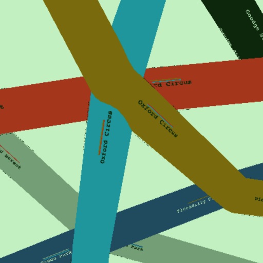
The app provides door position information for every London Underground station. It details interchange corridors, passageways, and lifts, and includes data for Overground and Docklands Light Railway stations.