Performs real-time battery and sensor checks before flights. It conducts advanced safety assessments of the flight area. Users can flights by connecting their device to the controller. The provides real-time status updates during operation.
Use AR to visualize sunlight exposure at any location and time. Adjust shadows with a paint tool. Factor in buildings and trees for accurate light schedules. Plan plant placement or landscaping projects based on sunlight data.
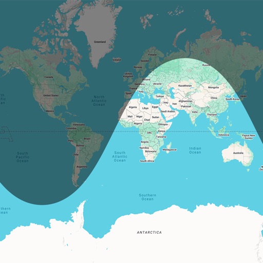
View current and forecasted with 24-hour and 7-day accuracy. Check sunrise and sunset times for multiple locations. Access scenes that reflect real-time conditions and time of day.
View real-time data for airports including METAR, TAF, NOTAM, WINDS ALOFT, and forecasts. Access ICAO and IATA codes, coordinates, and sunrise/sunset times. Manage favorite airports, search by location or code, and display all airports on a map.
Helps landscape photographers calculate settings. It includes magic hours, sunrise and sunset times, and sun direction. Users input shooting parameters to determine optimal settings.
Monitor UV Index in real-time and forecast worldwide UV levels. Track sunburn risk and vitamin D exposure. Set reminders for sunscreen application. Share UV data with others. Sync with health apps for personalized sun safety guidance.