Measure distances to objects using the lens. Display distance on the image with a 3D grid overlay. Aim at objects to determine their height or depth. Use for measuring boats, buildings, or golf aids.
Object dimensions using phone and reference objects like credit cards or DVDs. Snap photos for accurate in-plane measurements. Add custom reference objects with known sizes. Export measurement data for later review.
Get accurate GPS and latitude longitude instantly. Display in multiple formats including DMS, UTM, and MGRS. Convert between coordinate systems. Share precise location data directly.
Distances, areas, perimeters, angles, and circle parameters using photos. Define measurement planes in 3D space. Adjust for non-parallel planes. Export measurement data. Share results directly.
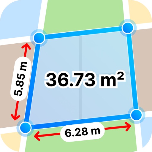
Distances, areas, and routes on maps using standard, satellite, terrain, and hybrid views. Calculate total area between points or along a route. Display coordinates in UTM and MGRS formats.
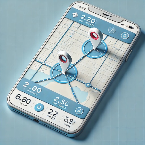
Distances on maps by tapping to add route points. Calculate length of roads, buildings, or areas. Get accurate calculations without needing existing routes or ground features.
Use the camera to object sizes, room areas, and shopping items. Capture images and receive precise dimensions with AI accuracy. View detailed measurements and compare sizes instantly.
Fingers to determine without needing a . Input measurements manually or use a ruler. Save and view history. Convert sizes between international standards.
Measure lengths of objects up to 9 inches using your device's screen. Choose between inches or centimeters. Adjust measurements to include the device bezel. Tap two points to get precise distance readings.
Distances between waypoints or calculate surface areas using map polygons. Set waypoints by tapping and holding. Choose units like kilometers, miles, or nautical miles. Access settings to change map type or view the manual.
Track acceleration and speed metrics automatically
Measure acceleration times like 0–60 mph and 1/4 mile without extra hardware. Set up measurements before starting the vehicle. Automatically record results when target speeds are reached. Save data locally or export to other devices.
Calculate distances and areas using GPS coordinates. Place markers on a map to measure distances between points or total of a route. Delete markers by tapping them. Export results for further use.