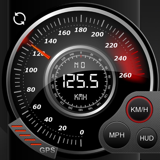
Display speed, heading, and trip data using GPS. Choose between mph, km/h, and kts units. Show current and next 24-hour weather based on location. Track altitude, odometer, and drive details.
The app records user trips, displaying tracks, position, and live information like speed and altitude. It also measures distances, areas, and perimeters by placing points on the map.
The app records GPS tracks with voice feedback for distance and time. It integrates with Apple Health, sending running, walking, and cycling distance data.
The app records car trips using GPS tracking and video capture. Videos include speedometer, map, and live audio, exportable to the photo library or viewable within the app.
Record data including , average , distance, altitude, and elapsed time. View real-time GPS tracking with longitude and latitude. Monitor statistics and save history. Sync with devices for offline navigation.
Record and view hiking tracks with detailed topographic . Navigate routes using GPS coordinates. Mark waypoints and save locations. Display elevation changes and compass direction. Sync with Apple Health for activity tracking.
The app provides navigation tools for communications, operations, and outdoor planning. It includes a compass, multiple coordinate systems, weather conditions, and route calculation features.
The app tracks business-related trips using a single button to start and stop mileage logging. Users can share single trip data electronically or via hardcopy, and print multiple trip reports for tax preparation.
The app transforms an iPhone into a car head-up display. It functions well at night and performs better in daylight under less intense ambient light conditions, such as on a cloudy day.