Apps Like what3words: Navigation & Maps for iPhone and iPad
Navigate to precise locations with three words
Find precise locations using three unique words. Share and navigate to exact meet-up points. Locate apartments, businesses, or parking spaces. Save key locations for incident reporting or reference.
by What3Words Limited★ 4.844,062 ratingsNavigationFreeData updated 2026-11-10
Navigate school campuses to locate classrooms, tutoring centers, and other key locations. Verify email and use location-based access for secure entry. Track movement and receive directions within the campus boundaries.
Save locations by taking photos and adding descriptions. View directions and distance to saved places. Log travel experiences and access navigation features offline.
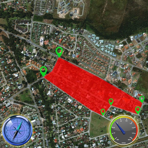
The app provides location information, including address and coordinates, with a compass and map view. It also features a seismometer to alert users of earthquakes and allows sharing of precise locations via email or message.
The app provides campus navigation for Chalmers University of Technology and the University of Gothenburg. It displays lecture rooms, buildings, departments, and facilities with map locations, walking directions, and photographs.
Find nearby restaurants with real-time updates and accurate location data. Display driving or walking routes with estimated travel times. Automatically detect user movement mode and refresh nearby locations as you move.
View interactive maps of to find attractions, exhibits, shows, shopping, and dining locations. Search and filter options help locate specific points of interest. Use the Wayfinder tool to navigate within the park.
Find cryptocurrency exchange locations for , Cash, Litecoin, Ether, Dash, Monero, ZCash, Tether, and Ripple. Search by coin or transaction type. View locations on a map or use the "Near Me" feature to display up to 20 nearby options based on filters.
Navigate off-road trails and remote areas with maps and turn-by-turn directions. Mark waypoints, track routes, and view elevation data. Access terrain details and compass navigation without internet connectivity.
Record GPS tracks to monitor progress and navigate back. Download offline maps for street, topographic, and satellite views. Save and share route data. Measure distances and elevations. Use compass and waypoints for accurate .
Plan and organize trips by adding destinations, tracking visited locations, and saving favorite . Create bucket lists with detailed notes and photos. Share routes and recommendations with others. Sync travel data across devices.
High-definition maps with detailed imagery. Navigate using interactive maps and street to explore streets and neighborhoods. Discover locations and landmarks with zoom and pan features. Save and share specific views of surface.
Navigate using turn-by-turn directions for driving, walking, or biking. Add stops along the route. Search for destinations in map view, list view, or both. Toggle between views for easy route planning.
To track and organize travel points. View and search globally with drag-and-select functionality. Categorize GPS points and display them on intuitive maps. Store photos linked to specific within the .
Get accurate GPS and latitude longitude instantly. Display in multiple formats including DMS, UTM, and MGRS. Convert between coordinate systems. Share precise location data directly.