Apps Like Map Camera with GPS Timestamp for iPhone and iPad
Capture photos GPS and location
Capture photos real-time GPS tagging to include location and time data. View interactive maps to see where photos were taken. Edit and share images directly from the .
by Tu Tran Duy★ 5.01 ratingsTravelFreeData updated 2026-09-06
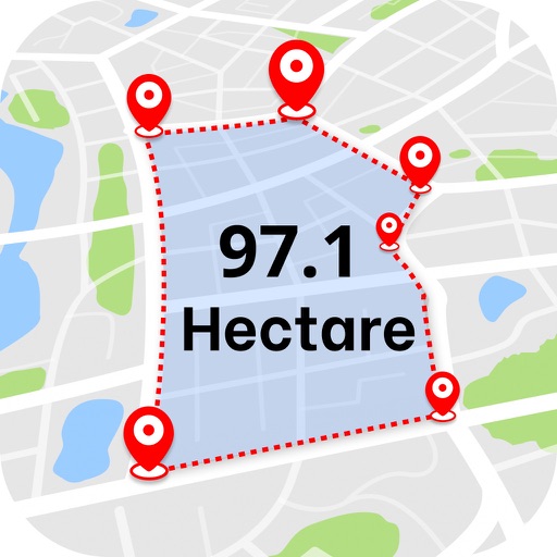
Calculate distances and areas using GPS. route lengths and track movement. Access GPS Camera, Compass, and Speedometer for navigation. View Satellite, Normal, Terrain, and Hybrid maps. Locate nearby points of interest and monitor live positions.
The app displays EXIF metadata including file size, time, location, and camera details. It allows users to remove metadata, change GPS location and date, and open photo locations in Maps.
The app records driving and cycling trips in HD video with data overlays for speed, time, and location. It offers multiple recording resolutions and map overlay options with speed gradient tracing.
Send text messages, photos, and videos to safety forces in emergencies. Share location with friends via FriendWatch for real-time tracking. Access emergency resources and procedures directly through the .
Provides real-time , atmospheric pressure, latitude, and longitude data. Users can switch between GPS and device altimeter for readings. Camera integration allows photo capture with location data overlay.
The app records GPS tracks, allowing users to save routes and add photos, videos, and voice notes. Users can share routes with others or upload them to the cloud for discovery by a global community.