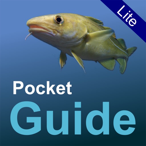
Pocket Guide UK Sea Fishing Lite
R Harley
UK sea fish identification guide.
The app identifies common fish found around the UK coastline. It offers detailed entries and search features to help identify a user's catch.

Plan trips, track tides, catch fish
Plan fishing trips with tidal predictions, weather forecasts, and lunar phase data. Locate boat ramps, marinas, and tackle shops across US coastal states. Access real-time information for inshore saltwater fishing without ads.
Showing 621–640 of 1,000 ranked alternatives.
R Harley
UK sea fish identification guide.
The app identifies common fish found around the UK coastline. It offers detailed entries and search features to help identify a user's catch.


Griffin Goodwin
Track auroras and view forecasts
Monitor live solar imagery from NASA's Solar Dynamics Observatory. Track solar flares and coronal mass ejections. Receive alerts and forecasts for northern and southern lights. View real-time Kp index predictions and visibility maps.


The Other Hat
Study boating graphics and safety info
Learn boating and sailing techniques with detailed visual guides and safety protocols. Access interactive diagrams for navigation, knots, and equipment. Review procedures for emergencies, weather, and boat handling.

APP4NAV
Navigate with real-time weather data
Weather provides real-time data including SOG, COG, VMC, HDG, TWS, AWS, ETAs, ETWs, and AIS. Integrates weather forecasts and calculations. Stores charts for offline use. Switches to night mode after sunset. Shares data with other devices via wifi.


Rory Buckley
Seven day tide information for UK.
The app provides seven-day tide times and heights for over 600 UK locations. It offers sun and moon rise and set times, with the ability to find nearby tides or search the location database.


Apps are ranked by functional similarity, category fit, rating confidence, and popularity.