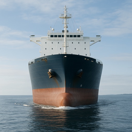
The app provides an intuitive maritime reference and learning companion for sailors. It features illustrated signals, a complete COLREGs reference, and interactive quizzes to test knowledge.
Offline provides English to and to English translations. Includes pronunciation for English words. Features offline functionality, universal compatibility across devices, and extensive word lists for daily use and study.
Explore maps with detailed satellite views, hiking trails, and topography. Navigate transport networks and view railway routes. Access terrain analysis and seas. Customize map layers for OpenStreetMap and tile-based maps.
Explore symbols and their meanings with a comprehensive dictionary. Look up interpretations, discover connections to creativity and problem-solving, and gain insights for personal guidance. Save and share notes on analysis.