

Apps Like Drone Map: Fly Spots for iPhone and iPad
Drone Map: Fly Spots screenshots
Ranked alternatives
Showing 321–340 of 1,000 ranked alternatives.


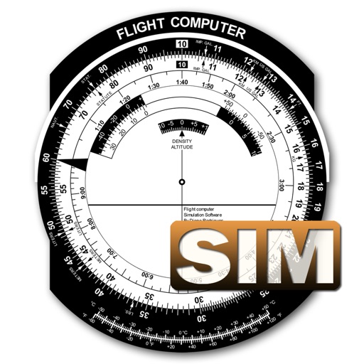
Flight Computer Sim
Diego Rodrigues
Calculate data with precision
A utility simulates an E6B slide ruler for aircraft pilots. Perform conversions, wind corrections for low and high speed. Rotate, slide, and pinch zoom for precise control. Includes three calculation modes.

HS FLY
HOLY STONE TECHNOLOGY Co.,Ltd.
Fly with FPV, track GPS, control via
Control the via Wi-Fi with FPV support for real-time video and clear photo display. Enable GPS positioning and smartphone following flight. Record and view videos and photos from the drone.


PPL Exam & Study – FAA & EASA
Flygo-Aviation Ltd
Questions, track progress, and review explanations
For FAA and PPL or LAPL exams with question banks, explanations, and digital books. Track progress and practice on mobile. Covers aviation weather, aircraft systems, aerodynamics, and air law.



SkewTLogPro
Chad Sandstedt
Access powerful skew-t log-p charts.
The app displays skew-t log-p charts with temperature, dew point, and winds aloft. It shows current radar, Airmets, Sigmets, and SkewT data filtered by altitude.



Paragliding Map
Paragliding Map Limited
Track flight data and view live webcams
View real-time flight conditions and site information. Explore launch and landing sites globally. Access weather forecasts from multiple providers. Watch live webcams and view photos of locations. See valley wind patterns with directional arrows.

MORECAST Weather
UBIMET GmbH
Track , radar, and forecasts
Check current conditions with hourly forecasts and detailed wind data. View snowstorm tracking and Doppler radar. Access navigation and live webcams. Get hyper-local forecasts for multiple cities worldwide.

Achilleus 3D Tactical Map
Savvas Petrou
Plan on real 3D terrain.
The app provides a 3D tactical mapping system for field use. It supports offline map access, drone video integration, and team sharing.
How we rank alternatives
Apps are ranked by functional similarity, category fit, rating confidence, and popularity.