Track sun and moon positions on a live map for golden hour, blue hour, sunrise, and sunset planning. Calculate ND filters, depth of field, motion blur, and exposure settings. Plan timelapses and estimate print quality from pixel data.
Create roof measurements using satellite, aerial, drone, or blueprint images. Generate digital pitchbooks with auto pitch detection. Organize property photos by project. Manage customer contacts and tasks. Access digital manufacturer catalogs.
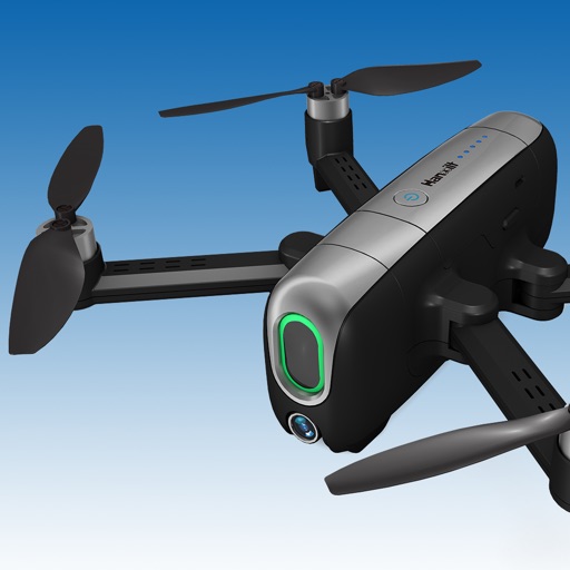
Transmit and control drones via WiFi. Capture photos and videos remotely. Adjust drone movement in real time. View live feed and manage flight settings. Share media directly from the .
Capture property images with drones. Analyze data using AI and computer vision. Generate detailed reports with insights. Share findings directly with clients. Track inspection progress and manage projects efficiently.
Scan and locate Bluetooth devices from Apple, FitBit, and Garmin. Identify nearby devices and view signal strength, heat maps, or direction. Find paired devices by turning off Bluetooth on other devices.
Control drone flight with touch or voice commands. Capture 4K video and photos with a 3-axis stabilized camera. Adjust settings for exposure and focus. Use distance vision sensor for safe navigation. Stream live footage and transfer files directly.