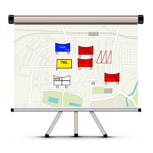
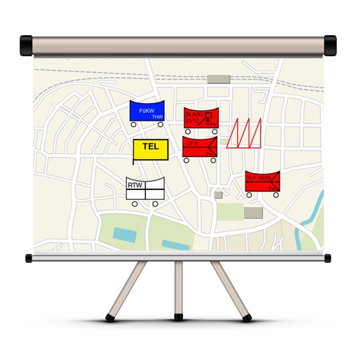
The app allows users to create and manage situation maps for emergency services. It includes features for organizing different agencies, displaying maps, creating situation reports, and sending them via email.
The app allows users to create and edit tactical maps with over 1600 symbols from various organizations. It supports custom map materials, drawing functions, and the ability to record situation reports directly within the application.
Landesstelle fuer die nichtstaatlichen Museen in Bayern
Learn about the Tal, its stream,
Explore the history of the Tal and its stream. Learn about the formation of the valley, the stream's disappearance and reappearance, and how people lived along this ancient water source. Discover natural attractions near the city.