Capture and record specimen metadata including taxonomic identifications, digital images, geospatial data, and collection details. Input unique identifiers and compile records for biodiversity projects. Sync data with iBOL and other initiatives.
Build and track employability skills like communication and self-development. Set goals for work-life balance. Receive automated feedback and progress reports. Access guided modules and interactive exercises. Sync achievements across devices.
View current location details including latitude, longitude, altitude, and address in Decimal or DMS format. Track trip data such as distance, speed, and maximum speed. Save location and trip information for later review.
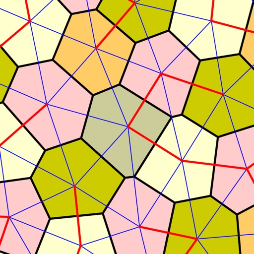
Create maps by inputting Boolean variables from a truth table. Arrange cells using Gray code ordering. Group adjacent cells in powers of two to simplify expressions. Identify minterms based on Boolean axioms. Export results for further analysis.