The app provides hyperlocal weather forecasts using data from personal weather stations and official sources. It offers 15-day daily and hourly forecasts, interactive radar, and severe weather alerts.
Track real-time wind speed, direction, and wave height for specific sailing locations. View live forecasts and historical data. Set alerts for changing conditions. Share updates with other sailors. Sync with GPS for precise location-based reports.
Manage flight data with in-flight metrics like relative wind, hover ceilings, density altitude, power limits, Vne, and more. Calculate weight and balance for multiple helicopter models.
Visualize approaches and landings with 3D views of airports and their surroundings. Access aviation weather forecasts, NOTAM data, runway information, airport restaurants, and webcams. Track real-time conditions and navigate airport layouts.
Track paths and monitor aircraft positions in real time. View weather data and airspace restrictions. Access preloaded charts and navigate without an internet connection. Set alerts and receive notifications for potential hazards.
Learn to read and interpret ADF and RMI indications. Track bearings to and from NDBs. Apply IFR procedures with step-by-step lessons and instant feedback. Practice core radio-nav skills through interactive training.
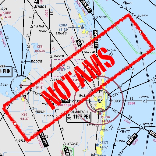
Assists pilots with interpreting NOTAMs, METARs, TAFs, and Area Forecasts. It decodes acronyms and contractions for both inflight and ground use. Users can search for details and weather reports.
Provides GPS altitude and pressure altitude readings. Displays speed in kph, mph, and knots. Measures barometric pressure in multiple units. Tracks acceleration in G forces. Shows location, magnetic, and true heading.
View turbulence reports and overlays on Apple Maps. Access hundreds of aviation and weather maps. Filter turbulence data by time and altitude. Share turbulence maps with others. Retrieve detailed turbulence information with a tap.
The app offers worldwide flight planning and in-flight navigation for iPad and iPhone. It provides flight plan creation, navigation data, and moving map features for various aircraft types.
Track upcoming events with customizable on the home screen. Edit events with live preview, set reminders, and adjust widget design. Share across devices and update event details in real time.
Plan flights with AI-driven weather analysis and global airfield data. View METAR and TAF reports. Use hands-free mode to listen to briefings. Set flight routes and check airspace restrictions. Sync with aviation databases for real-time updates.
Track flights with automatic logging or manual entry. Record details like time, distance, and aircraft type. Share logs with others. View history and statistics. Discover and explore new airports.