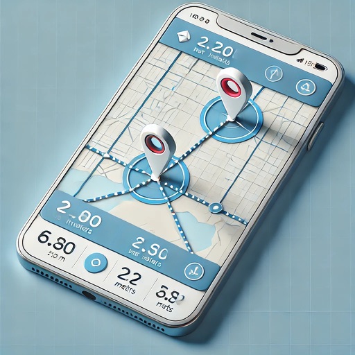
The app displays the user's actual position on digital aviation charts. It offers flight planning, route saving, and calculation of distances, flight times, and fuel consumption.
Explore cities with curated guides from bloggers and influencers. Discover hidden spots and natural attractions. Plan trips by browsing user-generated content. Save and share favorite locations. Navigate with detailed maps and real-time updates.
Find the nearest station using GPS. View detailed routes with transfer points. Quickly access any station via the stations index. See station order and transit options on each line. Display high-resolution maps for clear navigation.