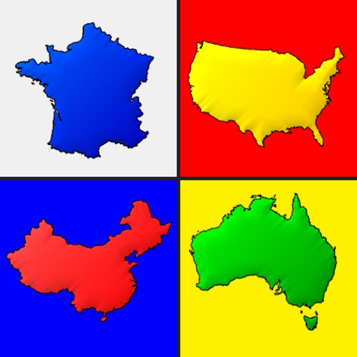
Compare territories by moving and resizing them to visualize relative sizes. Learn statistics about area and population. Explore different map projections and their distortions.
by Jason Horsley★ 5.06 ratingsEducationFreeData updated 2026-09-06
Access detailed information on 170+ countries including population, area, geographic coordinates, government, capital cities, economy, languages, culture, and history. Quick-view features allow users to compare data and explore facts efficiently.
Allows users to browse , search locations, save favorites, and use turn-by-turn . Premium subscription enables traffic-aware routing, activity recording, offline , and elevation map views for terrain clarity.
Learn U.S. , capitals, flags, and maps through spelling exercises and quizzes. Test knowledge with multiple difficulty levels. Access hints when needed. Track progress with interactive maps and state identification games.
Test geography knowledge with modes on maps, capitals, and flags. Choose from various challenges and review country details in list mode. Learn and practice European ' information through interactive gameplay.
Play quizzes to identify countries by shape and location. Access detailed maps with accurate country outlines. Choose from multiple game modes with varying difficulty levels. Track progress and review results.
Knowledge with questions on topics like population, religion, and capitals. Shuffle questions randomly each session. Skip unknown answers. Play one-on-one multiplayer matches.
Review from around the world with detailed explanations. Take quizzes to test knowledge and compare results with others. Play two different games to reinforce learning. Track progress and refresh driving knowledge.
Learn basic information about oceans, continents, animals, and landmarks through simple text and large illustrations. Explore cultures and countries with interactive games and animations. Play educational games without rules or stress.
Test your knowledge of with a trivia game that includes 158 and 50 dependent territories. Choose from three difficulty levels. Guess based on country names or images.
Astronomical objects and compare sizes from galaxies to atoms. Use gestures to zoom in and out, to microscopic levels or cosmic distances. View detailed comparisons and understand relative sizes visually.
Listen to real-time air traffic control communications. Tune in to pilots' conversations and flight updates. Receive alerts for flight delays and changes. Track aircraft movements near airports. Access live streams for planespotting.
Connect with people to learn about different cultures and traditions. Chat with native speakers to practice languages. Discover popular attractions in countries before visiting. Share your own country's culture with others.
Guess by their outline across all continents. Identify 197 independent nations in two difficulty levels. Compare country shapes to distinguish similar ones. Track progress and collect stars as you advance.
Create and save progressions with visual feedback. Trigger chords via MIDI footswitch. Sync progressions with other apps. Learn relationships and scales. Play chords on an on-screen piano keyboard. Use pads to organize and access saved chords.
Access real-time weather data through GRIB files. Download forecasts via high-speed internet or Iridium GO. View and analyze wind, pressure, and wave conditions. Navigate routes with advanced weather routing tools.
Explore a 3D map of the Milky Way, Andromeda, and their satellite galaxies. Navigate through the Orion Arm to view nebulae and supernovae. Fly through planetary atmospheres and land on planets.