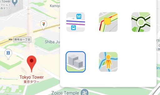
The app integrates mapping technology and augmented reality for outdoor experiences. It offers an offline peak database, AR peak visualization, and multiple map providers and types.
The app provides access to topographic maps, aerial photos, and cadastral parcels for Luxemburg. Users can search for places, choose from over 100 data layers, and share maps.
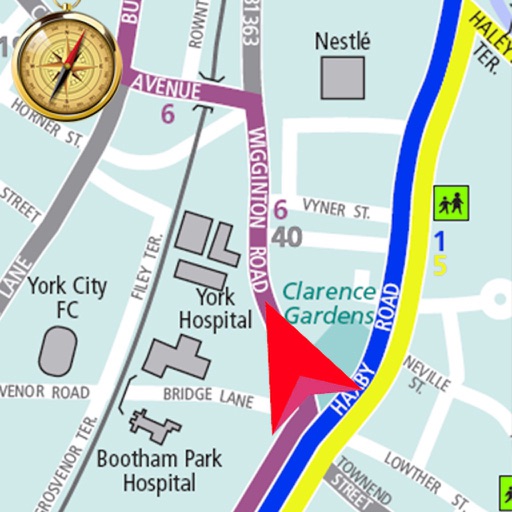
The app offers offline mapping for the Peak District, featuring Ordnance Survey data with detailed navigation and route management. It includes an offline search for places and roads, along with online Apple maps and GPS tracking.
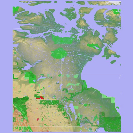
The app presents a 3D topographic map of Eastern Canada. Users can download map data for use without an internet connection, suitable for various travel methods.