Trace paths on maps to analyze elevation, distance, gradient, and bearing. View elevation and grade profiles of traced routes. Calculate area of arbitrary paths. Use satellite or default map views for terrain study.
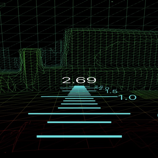
Take photos to measure object sizes, distances, and heights. Identify items instantly using the camera. Convert measurements to metric or imperial units. Sync data across devices for consistent tracking.
Scan documents using camera or photo library. Automatically detect and enhance edges for clear PDFs. Save and share scanned files. Organize and search documents. Export in multiple formats. Protect files with password security.