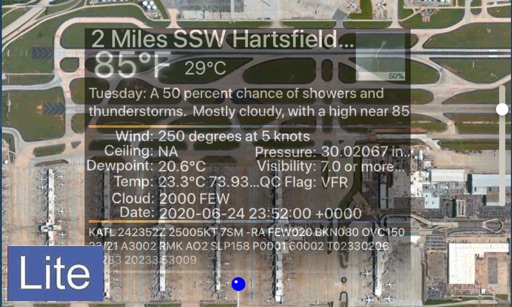
Displays current temperature, weather conditions, and "feels like" temperature based on location. Allows customization of menu bar items. Integrates with Apple Weather service. Shows humidity levels. Provides accurate forecasts using location data.
Trace paths on maps to analyze elevation, distance, gradient, and bearing. View elevation and grade profiles of traced routes. Calculate area of arbitrary paths. Use satellite or default map views for terrain study.
Pinpoint exact locations for real-time temperature, daily highs and lows, cloud cover, and precipitation type. Share data with others. View clear, precise with intuitive mapping.