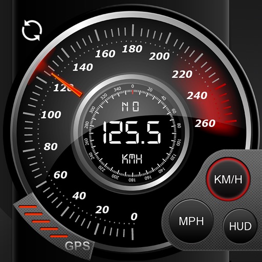
View current speed with a scalable . Track total distance and trip data including max and average speed. Export trip data as GPX, CSV, or KML files. Receive alerts when speed exceeds or falls below set limits.
3D maps and views of locations. Track real-time location with traffic data. Calculate distance from home. Plan routes and explore famous sites. Find directions and covered area during navigation. Use 3D world map for trip planning.
Provide real-time updates including accidents, construction, and police presence. Notify users of upcoming speed limit changes and display current speed limits. Guide users with turn-by-turn directions and alternative routes to avoid delays.
Real-time 3D maps with GPS navigation. Access HD views for current locations and addresses. Get driving directions and traffic updates. Receive voice-guided routes for navigation. Sync with global earth map for location-based insights.
Track routes for hiking, running, cycling, and other activities with GPS. View recorded paths on maps. Save favorite locations for quick access. Measure distance, speed, and elevation. Export data in various formats.
Track trips with real-time GPS data including speed, position, distance, elevation, and map display. Record details and export GPX files for review in Google Earth. Sync data to a computer for geo-tagging and management.
Record data including , average , distance, altitude, and elapsed time. View real-time GPS tracking with longitude and latitude. Monitor statistics and save history. Sync with devices for offline navigation.
Track cycling speed, distance, and route in real time. Choose from three display modes: digital, analog, or map. View ride history and manage past rides. Automatically stop the timer when movement stops. Swipe to navigate between screens.
Track speed in using units like meters per second, miles per hour, and kilometers per hour. Display speed in English or Spanish. Allow users to request additional language support.