

Apps Like Catchwise for iPhone and iPad
Track vessel trails and find fish spots
Find fishing spots using historical catch data and weather insights. View vessel activity trails and weekly hotspots. Save fuel by navigating directly to marked locations. Share and compare fishing locations with other users.
Catchwise screenshots
Ranked alternatives
Showing 481–500 of 1,000 ranked alternatives.


MuYu- Fun Sounds
鑫 许
Tap to play wooden fish
Simulate a wooden fish with realistic skins. Tap screen to trigger and knock effects. Access unlimited photo object recognition with premium subscription. Remove ads for uninterrupted use.


Velocity Lab Pro
Engineered Essentials Ventures, LLC
Calculate vehicle horsepower instantly
Calculate vehicle horsepower, 1/4 and 1/8 mile trap speed, and times using phone sensors. View detailed performance data. Export results and compare against benchmarks. Set performance goals and track progress over time.
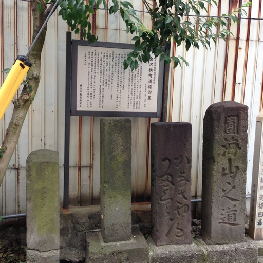
Hodogaya history walking map
Tomohito Nakayama
Explore Hodogaya's historic town spots.
The app introduces users to historic spots in Hodogaya, Japan, using a map interface. It allows users to explore the town's historical locations while walking.


spotfindr: Drone No Fly Zones
Michael Hitzker
Find worldwide
Find legal flying locations with real-time flight restriction data. Save and manage equipment. Store licenses digitally. Access over 1,500 global . View detailed regulations for each location.


VENICE Travel Guide & Map
Oleksandr Chaikin
Explore with tours
Explore with guided tours of 100 popular locations. Listen to 3 hours of narration while navigating the city center. Receive turn-by-turn directions and learn about historical landmarks and cultural sites. Save favorite spots and revisit them later.


Ship Tracker - Marine Radar
Mihir Sonani
Track ships and view real-time data
Track live positions and vessel details with real-time traffic data. View accurate updates on vessel movements across seas, rivers, and ports. Access detailed information about specific ships and monitor maritime activity.

NZ Topo50 North Island
Right Place Resources Limited
Offline maps for New Zealand's North
The app provides offline topographic map coverage of New Zealand's North Island. It includes satellite images, elevation data, and integrated information on land boundaries and trails.

Phone-Booth
Alex Knight
Find coverage and track signal strength
Find cell service coverage areas using real-time crowd-sourced data. View signal strength maps and compare carrier performance. Search for optimal locations to make calls or stay connected. Share coverage insights with others.

SWAN
INDICINA PTY LTD
View soil data and track irrigation plans
Access account information, view soil moisture levels for all fields, and check planned irrigation schedules. Zoom in for field details, review recent weather data, and view weekly forecasts.

Coffee Compass: Maps & Guide
LetUsBake, LLC
Find and share spots
Find and save shops using a map interface. Pin locations, view real-time details, and share favorites. Track visited cafes and receive recommendations based on preferences.

Club VTT de La Matapédia
9322-5613 Quebec Inc
Explore trails and points of interest.
The app allows users to view and search points of interest including gas stations, tourist attractions, and accommodations. It also locates users on the map using GPS and suggests routes for exploring new trails.


How we rank alternatives
Apps are ranked by functional similarity, category fit, rating confidence, and popularity.