
Lokimaps
Shingle Oy
Navigate with accurate
View topographic of with detailed scale options and lake depth information. Access property data via in- purchase. Download for offline use. Navigate using precise map data and location features.

Showing 801–820 of 1,000 ranked alternatives.
Shingle Oy
Navigate with accurate
View topographic of with detailed scale options and lake depth information. Access property data via in- purchase. Download for offline use. Navigate using precise map data and location features.

One Bad Ant
Climb peaks, track progress, share routes
Plan hikes and summit attempts with detailed trail maps and elevation data. Track progress on each peak with logging and completion status. View real-time weather conditions and safety alerts for hiking areas.

Napa Valley Vine Trail Coalition
Explore trails, find events, track your route
Navigate with an interactive map to track routes for cyclists and runners. View local event updates and news. Receive real-time information about the .


Oratu, s.r.o.
Explore peaks with augmented reality.
The app integrates mapping technology and augmented reality for outdoor experiences. It offers an offline peak database, AR peak visualization, and multiple map providers and types.


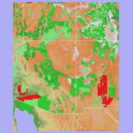
Mark Granger
Explore landscapes in three dimensions.
The app provides 3D topographic maps for iPad and iPhone. Vector map data is contained within the app for offline use, supporting navigation in various environments.





Nicholas Downs
Explore Red Rock Canyon with interactive maps
Explore Red Rock Canyon with interactive maps that provide turn-by-turn navigation and points of interest. Listen to expert audio commentary about geology, wildlife, and history as you walk.

Apps are ranked by functional similarity, category fit, rating confidence, and popularity.