Measure altitude, latitude, and longitude in real time. Display current direction using a compass. Show location with map-based coordinates and address. Share photos with altitude data on social networks.
Monitor vehicle tilt in real time to prevent rollovers on uneven terrain. Set custom maximum tilt angles and receive alerts when thresholds are exceeded. Display inclinometer readings for forward, backward, and sideways lean.
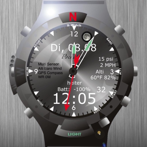
The app displays time, date, weather data, compass, goniometer, bubble level, ruler, stop-watch, motion alarm, and moonphases. It includes settings for temperature units, barometer units, and wind speed units.
Displays direction and heading in a large, readable format. Allows users to select a background and arrow style. Points to determine current direction and heading.
Display directions and current location data. View altitude, barometric pressure, and coordinate details. Navigate using coordinates and save location bookmarks. Track sunrise and sunset times. Show solar elevation and azimuth angles.
Track trips with distance, time, and average speed calculations. Forecast arrival times using waypoints. Monitor GPS and OBD sensor data in real time. View detailed vehicle performance metrics. Sync with external GPS devices for enhanced navigation.
Track prayer times based on GPS location and current city. View accurate Qibla direction using digital compass. Access Hijri calendar for date calculations. Set reminders for Salat. Sync with location to update prayer times automatically.