Track sessions automatically with real-time logging of route, duration, and weather conditions. Manually input details when needed. Set goals for practice hours and monitor progress. Sync data across devices and export logs for review.
Monitor real-time GPS accuracy and switch between latitude/longitude and DMS formats. Copy with one tap. Toggle between metric, imperial, and nautical units. View location data quickly with a simple, reliable interface.
Plan and track technical dives with support for open circuit and closed circuit rebreathers. Calculate gas consumption, OTUs, and CNS. Adjust ascent rates, stop intervals, and RMV/MOR per dive. Include altitude, nitrox, and trimix configurations.
Allows users to perform improvement calculations and unit conversions. It includes 440 calculations for hours, cost estimates, and takeoff quantities. Users can save and email results. Inputs and outputs are available in decimals or fractions.
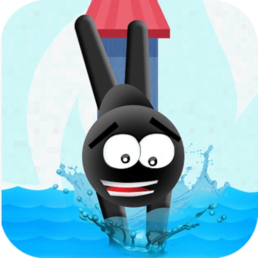
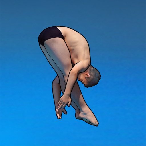
Flip and dive from platforms to achieve landings. Judge scores determine progression to harder levels. Customize styles and improve techniques through repeated attempts. Track progress and compete for higher scores.
Log details including location, depth, and time. Create multi-depth profiles for each . Track personal progress and export data. Share logs with other divers. Sync across devices for continuous access.
Calculate metal weights with support for multiple metals, shapes, and units in both metric and imperial systems. Perform offline calculations without background processes. Save settings and favorite calculations.
Perform complex calculations with customizable formulas and equation solving. Save and reuse calculations. Convert units and manage multiple profiles. Export results and access advanced functions like matrix operations and statistical analysis.
Calculate Maximum Operating Depth, Oxygen Partial Pressure, and Equivalent Air Depth for dive planning. Import dives from Shearwater computers. Use Deco Planner for dive scheduling. Learn gas mixtures and dive theory with built-in .
Distances and areas on satellite maps. Select objects like lawns, roads, and buildings. Save and share measurements. Export data in various formats. Sync with other apps for project planning.
Distances and areas on satellite maps. Select points to calculate length or size. Save measurements and share results. Compatible with various map views and zoom levels.
Take photos and add measurements with arrows to save object dimensions. Adjust scale using pinch zoom and magnifier view. Save photos with measurement data and share them with others. Supports both imperial and metric units.
View tide charts, wind direction, and swell alerts. Check 7-day forecasts with detailed wave height and period data. Set custom alerts for changing conditions. Track real-time reports and share forecasts with other users.