
Apps Like AvareX for iPhone and iPad
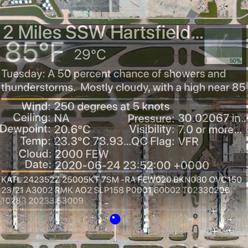
AvareX screenshots
Ranked alternatives
Showing 321–340 of 1,000 ranked alternatives.

iTarga - Verify license plate
Ottorino Bruni
Check for car info
Access vehicle information using a . Check insurance status, calculate taxes, if the vehicle is stolen, and review inspection details. View technical specifications including brand, model, and power.

Mistral Gliders
0xBurg
Track flights, locate , view live positions
Track , paragliders, planes, and helicopters in real time with live position and flight path data. View airfield details including frequencies, runways, and METAR reports. Access rain radar, cloud layers, and flight time calculations.


Navver Maps
StackSloth LLC
Check weather and navigate on the go
Navigate to destinations with turn-by-turn directions. Access real-time weather radar for current location. Integrate with CarPlay for in-car navigation. Search for destinations and view updated weather during trips.

Road&Rally
Road&Rally, LLC
Create and share interactive driving routes
Plan and share interactive driving routes with friends or event attendees. Create custom itineraries with daily schedules and -specific routes. View and edit route details for events or personal use.

Fishing Spots & Map
Mutludev L.L.C-FZ
Find and map locations
Find with an interactive map and detailed location information. Track daylight hours to determine optimal times. Set alerts for weather conditions and tide changes. Share favorite with other users.


Pro Altimeter - Barometric+GPS
Craig Hunter
Measure altitude with precision
Measure altitude using barometric pressure and GPS data. Display altitude in feet and meters with real-time accuracy. Calibrate sensor and switch between day and night display modes.

Bar-o-Meter - Altimeter & Barometer
NETTuno s.r.l.
Altitude and pressure measurement tool.
The app calculates altitude from the device's barometer sensor or internet services. It provides weather forecasts, pressure readings in multiple units, and charts for pressure and altitude variations over time.

Maps 3D Neo
movingworld GmbH
Explore trails, track routes, and navigate outdoors
Plan outdoor activities with 3D terrain views of hills, mountains, and valleys. Navigate footpaths and track elevation changes. Save and share custom routes. Sync with fitness apps for activity logging.


Funjumpr
Jonathan Bindel
Track weather and plan jumps
Track live weather conditions, including winds aloft and jump run suggestions. View daily jumpability indicators. Use the load clock to manage pre-jump timing. Check who is present at the dropzone. Access flight planning tools and manifest tracking.


The Muslim Pilot
MOHAMMED AL OTAIBI
Calculate prayer times with flight data
Calculate prayer times during flights using waypoint coordinates and altitude. Determine prayer times en route with ground speed and track data. Sync with flight plans for accurate timing.
How we rank alternatives
Apps are ranked by functional similarity, category fit, rating confidence, and popularity.