

Apps Like AvareX for iPhone and iPad
AvareX screenshots
Ranked alternatives
Showing 241–260 of 1,000 ranked alternatives.
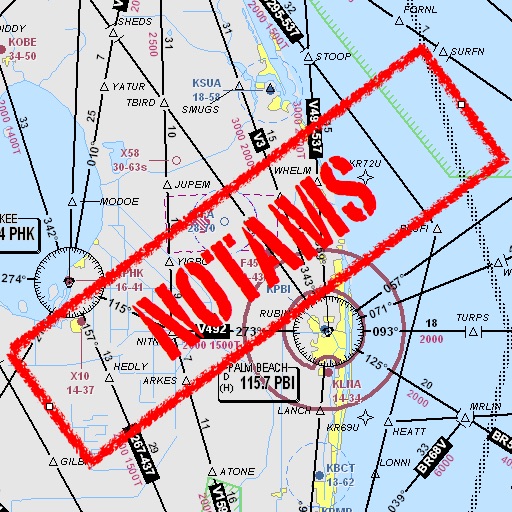
Notam Helper
Mark Bateman
Find and weather contractions
Assists pilots with interpreting NOTAMs, METARs, TAFs, and Area Forecasts. It decodes acronyms and contractions for both inflight and ground use. Users can search for details and weather reports.


POW Ponder on Weather
Roy Ponder
Check radar and view forecasts
Check current conditions and forecasts for your location. View radar images with customizable layers and colors. Access live YouTube videos and recent Facebook posts. Stay updated with real-time storm alerts and alerts.

Radar Pro
David Neel
View up-to-date weather radar data.
The app displays current weather radar data from the United States National Weather Service NEXRAD Level 3 Radar Network. It allows users to view storm motion through animation and marks the user's current location on the map.

Meera: Messenger, video calls
MEERA GROUP FZ-LLC
Discover posts, events, and stories on
View location-based posts and Moments directly on a map. Check weather and navigation details. Switch between Social Mode to share live location or Private Mode for personal exploration. Browse photos, blogs, and videos in a continuous Road feed.

The Barometer -Digital-
Vida Apps Incorporated
Check pressure, wind, and time
Check current air pressure, wind direction, and wind speed. Select regions worldwide for accurate data. Automatically update weather metrics in real time. Customize background and text colors for better visibility.

Luminos Map: Twilight Nav Tool
Mapnitude Company Limited
Sun Moon Twilight Navigation Tool
The app provides real-time Sun and Moon data, including sunrise, sunset, moonrise, and moonset times globally. It features a time-chart and interactive map for accessing celestial data and exploring seasonal shifts.


avAltimeter
Aviametrix, LLC
Set altitude and adjust Kollsman
Measures altitude using barometric pressure. Adjust Kollsman setting for current barometer or set to 29.92 inches of mercury. Syncs with iPhone 6 and later models using Apple and Bosch sensors. Does not support older iPhone or iPad models.

Go Terrain
XPLORER
Track routes, share positions, view targets
Connect a metal detector via Bluetooth to view targets in real time. Save and view routes individually or in group mode. Track colleagues' positions and findings. Share and update data. Access GPS info and target details from compatible detectors.

IFTA Track
Alliops LLC
Miles by state and manually enter odometer
Trip miles using GPS by state or province. Log odometer readings manually for each state and record highways traveled. Note load drop locations and fuel stops to calculate MPG. Create and manage load manifests for each trip.


Survey Pilot Pro
MysterWE, LLC
Plan missions, capture data, review flights
Allows pilots to plan, execute, and review missions offline. It includes tools for route inspection, search-and-rescue operations, and aerial surveys. Features include mission tracking, data logging, and cockpit-optimized interface.
How we rank alternatives
Apps are ranked by functional similarity, category fit, rating confidence, and popularity.