The app records GPS tracks, allowing users to save routes and add photos, videos, and voice notes. Users can share routes with others or upload them to the cloud for discovery by a global community.
Create and share by drawing routes and adding markers for campsites and start points. Collaborate with others to edit and view in real time. Navigate trails, track progress, and receive turn-by-turn directions.
View maps in multiple styles and overlay grids for precise navigation. Access live location data including coordinates, address, heading, and speed. Plan routes with detailed terrain analysis and save custom waypoints.
Explore outdoor routes and points of interest with layered maps. View IGN maps, aerial photos, and OpenStreetMap for hiking and . Access Spain and Swiss maps, emergency call coverage in France, and winter trail information.
Track hikes with distance, vertical gain, time, and calories burned. View maps with color-coded elevation tracks and stats on Apple Watch. Backup data to iCloud and share between devices. Use USGS and satellite maps for navigation.
View detailed maps of Norway with accurate trails, sea routes, and city navigation. Search locations and addresses. Use GPS for auto-rotating maps and compass. Download maps for offline use. No advertisements.
The app announces the user's speed aloud using text-to-speech technology. Users can select units of measurement including miles per hour, kilometers per hour, and knots, with voice options for US, UK, and AU.
Plan routes by drawing on the map with finger swipes. Calculate total distance instantly. Track progress for hiking, walking, running, and other activities. View details for tourism, golf, and hunting. Sync with fitness apps for activity logging.
Search for activities by location or place. Filter options allow customization based on interests. View results on a map or in list format with brief descriptions. Access detailed information, maps, and GPS directions.
Plan hikes by downloading detailed topographic maps for offline use. Access IGN, SwissTopo, and OpenTopo basemaps. Track routes, view elevation data, and navigate with precise geographic information. Share maps and waypoints with others.
View routes for cycling, hiking, and cross-country skiing with difficulty levels and on-map markers. Access points of interest like bars, restaurants, and tourist spots. Receive information about landmarks and facilities along the way.
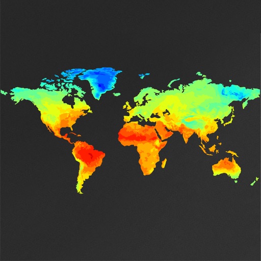
View global weather data with interactive map panning and zooming. Switch between weather layers for current and forecasted conditions. Track detailed weather changes up to 0.25 degrees on land or sea.
Customizable GPS navigation with turn-by-turn directions. Adjust routes using a safety slider. Avoid steep hills and unpaved paths. bike trails and commutes. Syncs with micromobility devices. View real-time traffic and elevation data.
View real-time high-resolution for storm and precipitation tracking. Access global forecast models for detailed predictions. Monitor air quality and receive accurate forecasts. Track severe patterns and plan accordingly.