Receive weather alerts with details on affected provinces, alert level, and event type such as hurricane or earthquake. View additional information and track updates in real time.
View daily weather forecasts as a single numerical "vibe" representing the day's conditions. Customize the display to show temperature, precipitation, or UV index. Set location manually or use current GPS.
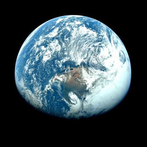
View satellite imagery and time-lapse data to analyze features. Compare images using an A/B slider. Visualize environmental data like air pollution, vegetation, and sea ice. Explore unfiltered satellite views from the ESA’s Sentinel-2 satellites.