Capture and analyze property details using smartphone photos. Generate 2D and 3D models from images. Measure dimensions and create project assets. Document appraisals, inspections, and claims without manual tracing. Export and share models directly.
by Smart Picture Technologies Inc.★ 5.06 ratingsUtilitiesFreeData updated 2026-09-06
Track paints from over 25000 colors across multiple brands. Create custom paint sets for models. Add paints via barcode scan or manual entry. Save desired paints to a wish list. Find color matches using built-in color tools.
Manage and monitor 5G and 4G hotspots from a smartphone. View connection status, switch between networks, and track data usage. Automatically connect to the local network in 170+ countries without manual setup.
Measure objects using screen size, augmented reality, or printed rulers. Place virtual on surfaces with ARKit. Print rulers via AirPrint. Compare printed results with on-screen measurements. No ads, in- purchases, or tracking.
Measure objects and spaces using a smartphone camera. Capture images of properties to calculate distances, perimeters, and areas. Export measurements and share results directly. Sync data across devices for accurate project tracking.
Capture and manage photos with geo-referencing features. Each image includes GPS, bearing, and descriptive metadata. Upload and organize unlimited visual data. Document construction projects with timestamped and location-tagged photos.
Measure sound levels with a professional-grade sound level meter. Display decibel readings, frequency analysis, and real-time data. Set sampling intervals, average measurements, and export results. Track maximum and minimum levels.
Convert iPad with USB-C to portable monitor using capture card for content creation and gaming. Enable internal capture for versatile video recording with adjustable resolution and frame rate.
Measure object dimensions with camera using AI-powered image analysis. Capture and analyze multiple objects in a single photo. Save and share measurement data. Convert units between inches, centimeters, and feet.
Calculate payments with weekly, bi-weekly, and monthly options. Input taxes, insurance, and utilities. Estimate interest savings from higher payments. View amortization schedules. Save and compare multiple calculations. Sync to iCloud.
Inspectors can conduct inspections on-site using GPS tracking, location mapping, and photo capture. Data can be saved offline and synced when online. Features include offline functionality, inspection logging, and real-time location tracking.
Capture property photos and share listings instantly
Capture high-quality HDR images for real estate listings. Edit photos with AI-powered tools for enhanced clarity and color. Share listings directly to social media and real estate platforms. Manage property details and view analytics for performance.
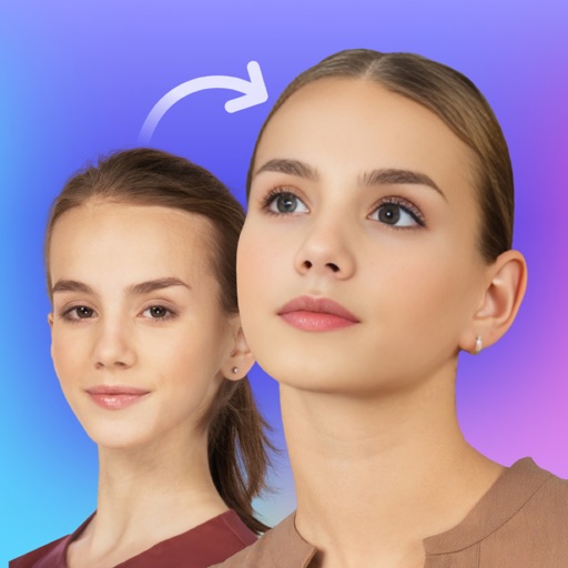
Swap faces in photos with AI technology. Adjust facial features and expressions. Anonymize or prank by replacing faces in profile portraits. Handle complex cases like sideways faces, glasses, and headwear. Swap faces up to 1024 px in size.
Measure sound levels with real-time precision. Analyze harmonics using multichannel FFT with adjustable parameters. Display graphical representations of audio data. Utilize AI to identify sound sources and analyze environments.
Create wallpapers with predefined frames. Choose from 60+ styles including cute notches, bullet holes, and broken screen designs. Adjust photo size and position. Save and share wallpapers directly. Supports all iPhone models from 7 to 13 Pro Max.
Capture high-quality images and videos with GPS location stamps, notes, and datetime metadata. Track project progress by documenting stages and changes. Identify issues and share visual reports for inspections.
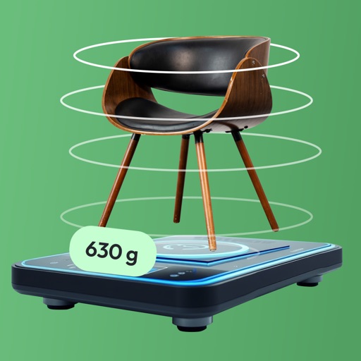
Take a photo to estimate the weight of objects in using AI analysis. Measure food portions, jewelry, ingredients, tools, or small items. No external hardware required. Share results directly.
Convert photos into animated videos using AI motion effects. Apply cinematic AI enhancements to images. Upload and transform photos with available credits. Purchase additional credits for more conversions and effects.
Log details, track usage, and record maintenance for models. Use QR codes to quickly log flights and batteries. Monitor fuel consumption for nitro and gas models. Support multiple model types including planes, drones, and helicopters.
Scan objects and environments in real time using technology to create detailed 3D models. Adjust scan settings and export files in various formats. Share 3D content directly from the .
Measure using camera overlay and CoreMotion for accurate degree and rise/run calculations. Organize measurements by job or client. Capture and annotate photos. Generate client-ready PDF reports.