Send documents as faxes without a machine. Upload files or take photos to send. Receive confirmations and track delivery status. Manage contacts and set up recurring faxes. Share sent faxes via email or cloud services.
Explore celestial objects with an augmented reality interface. Point your device at the sky to view stars, planets, and constellations. Learn about astronomical data and history. Save and share observations. Sync with real-time sky maps.
Capture and analyze high-resolution drone imagery for crop health and performance. Plan drone flights for full field coverage. Generate real-time analytics and insights to track agronomic data throughout the growing season.
Receive real-time notifications for Primogem codes, daily talent book and material reminders, and event updates. Track farming schedules and set custom alerts. Access in-game tips and content to optimize gameplay and progress.
Capture and share real-time project updates with live imagery and step-by-step progress tracking. Upload and organize documents, notes, and photos. Send updates to clients and team members.
Plan and respond to chemical incidents using plume dispersion models integrated with Google Maps. Access real-time meteorological and gas sensor data. View and analyze hazard scenarios with the ALOHA® model.
Manage farm data with real-time access, capture and edit field notes, view and update crop maps. Track budgets, plan operations, and share documents. Collaborate with team members through integrated communication tools.
Track in real time with barcode scanning and manual entry. Receive alerts for low stock and set reorder thresholds. Generate reports and sync data across devices. Manage suppliers and track expenses. Adjust levels during service.
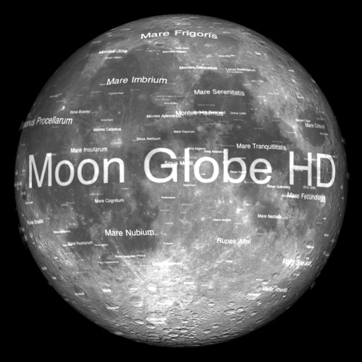
The app displays Earth's Moon in realtime 3D using satellite imagery and topographic data. Users can manipulate the view, switch to Telescope mode, and adjust the display time to observe shifting sunlight on the lunar landscape.
View historical imagery from specific dates to observe changes in urban and natural environments. Compare current and past views using Google View and Apple Look Around. Access world imagery basemaps for detailed geographic analysis.
Manage agricultural operations with work order creation and tracking, scouting, soil sampling, and data layer viewing. View assigned jobs, complete tasks with compliance checks, and access real-time activity updates.
Track field data with sensors and drones. Monitor crop health and soil conditions. Analyze yield potential and weather patterns. Generate reports and share insights with stakeholders. Manage equipment and labor schedules.
Access detailed climbing information with user-editable crag and area guides. View satellite imagery for offline navigation. Upload and share photos of climbs. Contribute to and update climbing documentation.
Access from both Old and New Testaments. Read devotionals that expand on each verse. View inspirational images. Search and bookmark for quick reference. Share and devotionals with others.
Scan documents, receipts, IDs, and handwritten notes using the device's camera. Convert scanned content into editable text with OCR. Share or save scans directly. Adjust brightness and crop images.
Access and manage farm data remotely. Capture and share field notes, images, and measurements. View and edit farm maps. Track crop progress and budgets. Collaborate with team members through in- messaging and document sharing.