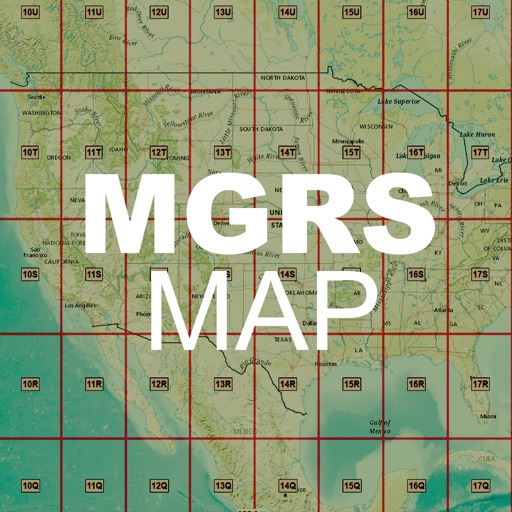
Distances, areas, and routes on maps using standard, satellite, terrain, and hybrid views. Calculate total area between points or along a route. Display coordinates in UTM and MGRS formats.
Find using GPS . Search for areas and retrieve accurate latitude and longitude. Switch between standard, satellite, and terrain map views. Calculate area measurements. Share via email or messaging.
Navigation enables users to locate and contact local businesses and individuals. Search for services and products, view contact details, and make payments through the platform. Users can list their offerings and manage interactions securely.