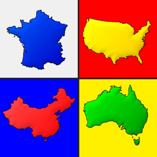
Guess by their outline across all continents. Identify 197 independent nations in two difficulty levels. Compare country shapes to distinguish similar ones. Track progress and collect stars as you advance.
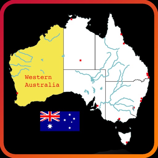
Explore an interactive map of to learn about rivers, lakes, mountain ranges, states, and city locations. Tap and drag to navigate, zoom, select, highlight, and pan the map. Test knowledge with a quiz mode. Build custom maps with selected features.
Vocabulary through listening, speaking, reading, and writing exercises. Classify words into categories like animals, colors, and numbers. Adjust playback speed and listen to standard speech.
Navigate a map to guess city locations using satellite imagery. Tap to select and landmarks. Receive hints and score based on accuracy. Compare scores with other players. Share results on social media. Track progress over time.
The app provides trivia questions and answers across multiple categories. It replaces question cards for board games, allowing users to select categories and colors for gameplay.
Explore historical events by guessing their locations on a map. View event details, zoom in for accuracy, and receive feedback after each attempt. Track progress through different time periods and regions.