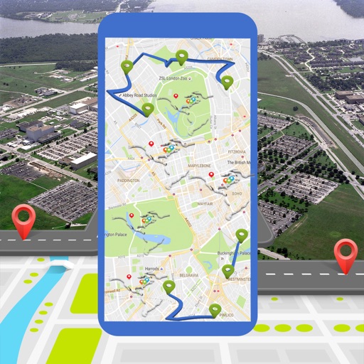
The app provides navigation for outdoor activities, allowing users to view their location in UTM or Lat/Lon. It supports recording and returning to waypoints, track logs, and exporting data to KML, GPX, or CSV files.
Display real-time speed with a digital interface and set speed alerts. Track routes on a built-in map, save trip history, and export tracks in GPX format. Switch between light and dark themes.
Monitor speed and red light traps using GPS data. Receive customizable alerts for upcoming dangers. Integrate with an external device for real-time updates. Log and review trap locations. Set personalized warning preferences.
Track harvesting equipment like feller bunchers and skidders in real-time. Monitor performance and productivity metrics. Receive boundary warning alerts to prevent trespassing. View equipment locations and operational data on a map.
Track aircraft position using device GPS. View real-time data including altitude, speed, and heading. Access weather information and airport details. Set and monitor plans. Receive alerts for airspace changes and terrain obstacles.