The app provides definitions and history for national flags. It also includes official country names, capitals, locations, area, population, and national anthems.
by Ratha Sou★ 4.7599 ratingsReferenceFreeData updated 2026-10-14
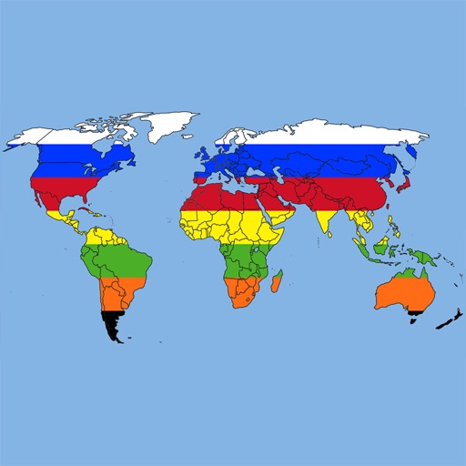
The app provides political, physical, and transportation maps for all 196 countries and major world regions. All maps are stored on the device for offline access, opening directly to the content without margins.
The app provides a quiz to test knowledge of world countries and their capitals. Users can learn country and capital names and share them via email, SMS, or Facebook.
The app presents a visual trivia game for the entire family with hundreds of flags across over ten levels. Players can earn hints and unlock fun facts through conversations between a ninja and his sensei.
Connect with educators through breakout sessions and networking. Participate in competitive events to showcase teaching skills. Attend keynotes and learn from teacher leaders. Prepare for national conferences and competitions.
A programmable RPN with continuous memory allows users to access the stack and LASTx using STO and RCL commands. It supports 200-2000 lines of program memory and label addressing with strings.