The app provides definitions and history for national flags. It also includes official country names, capitals, locations, area, population, and national anthems.
by Ratha Sou★ 4.7599 ratingsReferenceFreeData updated 2026-10-14
The app provides images and usage descriptions for all 40 international code flags. It includes a quiz for memorization and the complete International Code of Signals document for reference.
The app offers six game types with varying difficulty levels to teach geography. It includes puzzle maps, city and capital identification, World Heritage Sites, flags, countries, continents, and flashcards.
Look up English-Burmese translations with search history and bookmarks. Tap words for definitions. Navigate back and forward between terms. Search quickly. Use a simple interface. Listen to word pronunciations.
Receive daily prayer reminders for the "country of the day." Explore country-specific statistics, prayer requests, and praise reports. Set custom prayer times and access detailed information on global prayer needs.
Learn state names, , and locations through interactive games and quizzes. Explore detailed maps of all 50 . Test knowledge with matching quizzes and fun facts about each state.
Access government documents, presidential and state facts, and high-resolution images. View interactive historical maps and contact information for officials. Explore an Election Center with timely updates and additional visual content.
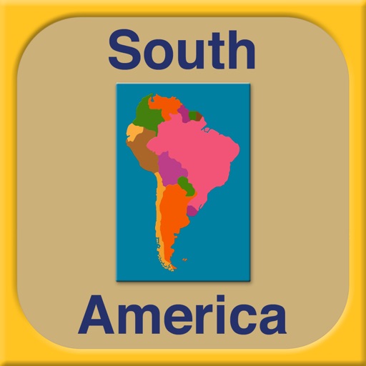
The app introduces South America's countries, capitals, and flags. It includes interactive activities like quizzes, puzzles, and labeling exercises designed for children aged 6-9.
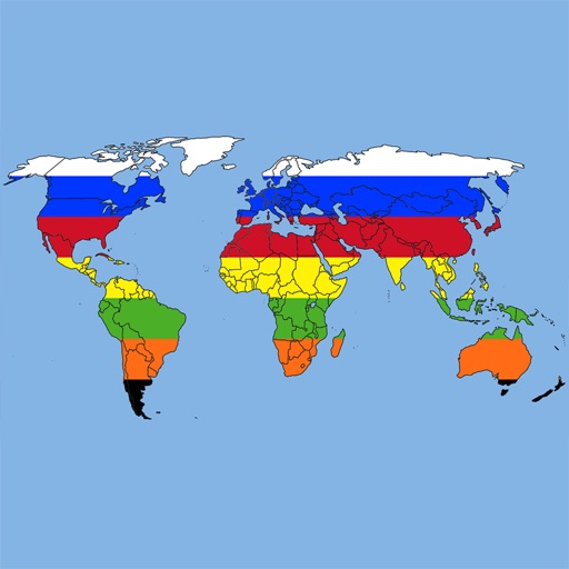
Learn geography through interactive quizzes on all 196 countries, their capitals, and flags. Play quiz modes including country selection, capital matching, and flag identification. Choose input methods like typing or multiple choice.