The app provides definitions and history for national flags. It also includes official country names, capitals, locations, area, population, and national anthems.
by Ratha Sou★ 4.7599 ratingsReferenceFreeData updated 2026-10-14
Place countries, territories, and landmarks on a 3D globe. View capital cities and major landmarks. Explore high-resolution maps with translucent oceans. Learn about geography through interactive placement and detailed locations.
Identify European by their flags in 1 minute. Choose from multiple options with 3 attempts. Share scores on social media. Compete on leaderboards and earn achievements.
Access detailed world maps and high-resolution regional maps of 165 countries. View administrative, topographic, and climate maps offline. Use without internet or ads. Navigate and zoom in for precise geographic information.
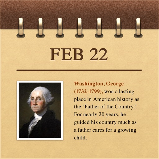
Explore historical events with multimedia content. View events by date or select a specific day. Access photos, illustrations, music, and speeches related to each event.
Test geography knowledge with quizzes on capitals, flags, and maps of . Choose from multiple game modes including challenge and list view for review. Track progress and compete against others.
Provides access to COLREGS and Inland , including amendments. It includes sound and light signals, steering and sailing , and other essential boating references. Users can search and bookmark regulations for quick reference.
Quiz "Test knowledge of capitals with multiple-choice questions. Choose between light and medium difficulty modes. Track progress and review correct answers."