Store, manage, visualize, and export data from the EasyDens digital density meter. Input and track distillation results. View alcohol content measurements over time. Share data files directly.
View METAR and TAF data for global airports. Set custom for takeoff, landing, and alternate weather conditions. Create alerts for weather changes using push notifications. Customize units for visibility, wind speed, and temperature.
Calculate bullet drop and wind drift based on distance, elevation, and environmental conditions. Input rifle specifications and adjust for bullet weight and velocity. Export data and share results.
Calculate flight metrics for Beechcraft aircraft including takeoff, landing, climb, cruise, descent, and instrument procedures. Include turbonormalizer and tip tank options. Compute emergency glide distance with wind adjustments.
Calculate takeoff, landing, climb, cruise, descent, and instrument procedure for Cessna 172 and 150. Include emergency glide distance with wind adjustments. Track hold parameters, analyze risks, and compute metrics for flight planning.
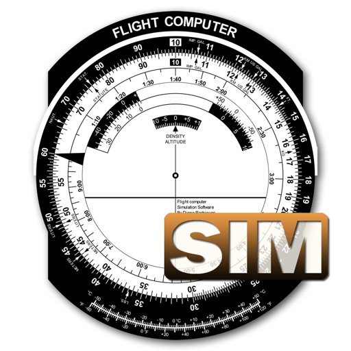
A utility simulates an E6B slide ruler for aircraft pilots. Perform conversions, wind corrections for low and high speed. Rotate, slide, and pinch zoom for precise control. Includes three calculation modes.
Create and manage map radiuses with customizable center coordinates, , and color settings. Share URLs via email or text to display radiuses in any browser. Include names, notes, and choose from multiple coordinate and distance formats.
Calculate ballistic trajectories using metric or imperial units. Input speed, angle, and elevation to generate distance and time data. Export dynamic charts for 100, 200, 300, and 500-yard ranges.
Performs real-time battery and sensor checks before flights. It conducts advanced safety assessments of the flight area. Users can flights by connecting their device to the controller. The provides real-time status updates during operation.
Access real-time data and satellite imagery from multiple sources including Clear Sky Charts, Clear Outside, Meteoblue, Windy, Astrospheric, and Sat24. View water vapor images and track wind patterns.
Calculate area using width and length in inches, feet, yards, meters, or centimeters. Convert results to inches, feet, meters, or centimeters instantly.
Check current temperature, humidity, dewpoint, wetbulb temperature, wind speed, and pressure. View hourly forecasts. Adjust units to metric. Add and monitor personal weather station data to assess conditions.