Plan routes and navigate metro system with real-time updates and step-by-step directions. Search for stations, view schedules, and track vehicle locations. Receive alerts for delays or service changes.
by Yaroslav Mykolaienko★ 0.00 ratingsNavigationFreeData updated 2026-09-06
Reference "Access up-to-date transit data and maps. Search routes and transfer options with timing, cost, and distance details. Get real-time navigation and nearby station info. View service details and operate offline without internet."
View maps of the Paris Metro. Zoom in and out, scroll freely. Access official . Navigate stations and lines. Find nearby exits and transfers. Plan routes without internet.
The app offers interactive transit maps and a journey planner for Los Angeles public transportation. It provides step-by-step directions, station search, and departure information, with offline access available for supported features.
Navigate using augmented reality for real-time directions. Access offline maps and metro guides for . View interactive points of interest including public transport, restaurants, and attractions.
Explore cities with augmented reality navigation and maps. View interactive points of interest including public transport, dining, and attractions. Access daily itineraries, budget-friendly hotels, and shopping guides.
The app provides an offline travel guide with interactive maps and augmented reality features. It includes daily itineraries, budget-based recommendations, and city tips for navigating and experiencing Paris.
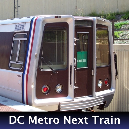
The app provides real-time train arrival information for Washington, DC Metro stations. Users can find their station and see when the next train will arrive, eliminating the need to wait on the platform.
The app provides an up-to-date map of the Metro network and a tourist map of city points of interest. Users can view line information, station services, and real-time train status.
Explore offline maps with zoom functionality and AR navigation. Find points of interest like restaurants and hospitals. View daily itineraries and budget-friendly accommodations. Get shopping guides, nightlife options, and city tips for safe .
Book on- rides using ADA accessible services curb2curb and METROLift paratransit. Select pickup and drop-off locations. View real-time vehicle locations. Schedule trips and receive ride confirmations. Track trip status and payment details.
Use camera to view augmented reality overlays of nearby locations. Search for restaurants, ATMs, pharmacies, and transit stops. Get directions and real-time information about nearby services. Save favorite places and share locations with others.
Check real-time bus arrival times and locate nearby bus stops. Manage a list of favorite geolocated stops. Plan trips using public with route maps and connections. View bus route details and connections.
Plan trips with real-time schedules and route guidance. View maps with transit lines and stops. Search for buses, trains, and ferries. Get fare information and service updates. Bookmark favorite routes and share trip details.
Explore cities with augmented reality navigation and offline maps. View interactive points of interest including public transport, restaurants, and museums. Access daily itineraries, budget-friendly accommodations, and shopping guides.