Monitor vehicle tilt in real time to prevent rollovers on uneven terrain. Set custom maximum tilt angles and receive alerts when thresholds are exceeded. Display inclinometer readings for forward, backward, and sideways lean.
Track in real time using device sensors. View current in miles per hour. Set limits and receive alerts when exceeded. Log trips and review history. Share data via email or social media. Calibrate sensor for accurate readings.
Calculate groundspeed, true heading, compass heading, leg time, distance, fuel required, fuel flow, and endurance for flight planning. Convert airspeed, altitude, and temperature.
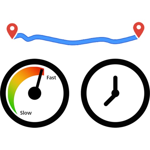
The app records and exports user trips for geo-tagging or trip management. It displays live paths on a map and provides details like speed, distance, and altitude.
Display current direction, altitude, latitude, and longitude. Show real-time barometric pressure and movement speed. Track geographic location. Switch between "Classic" and "Sunset" visual themes with premium color schemes.