Locate historical mines and mineral resources across the U.S. View locations, types, and associated resources. Access data from USGS MRDS. Find abandoned, active, and prospective sites. No login or subscription required.
Access technical procedures with fast navigation through 240 illustrated pages. Watch updated video tutorials and use shoring calculators to generate cut-lists. Save and share critical information directly.
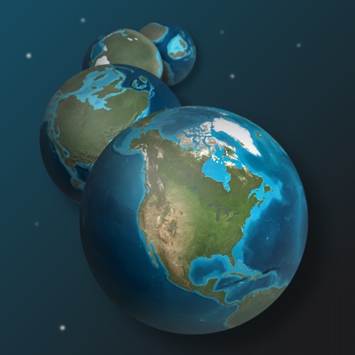
Explore Earth's geological history by visualizing continents, oceans, and climate changes over billions of years. Adjust time scales to view past landscapes, track sea level shifts, and observe planetary transformations.
Prepare for the CST by studying anatomy, surgical instruments, and sterile techniques. Practice instrument identification and proper handling. Take quizzes and review detailed diagrams to reinforce knowledge.
Receive spiritual guidance through private conversations with an AI-powered virtual minister. Ask questions about relationships, career decisions, or personal growth. Get biblical insights, daily reflections, and tailored support based on your faith.
Interoperable Communications Technical Assistance Program
Access rules and regulations offline
Access public safety information and emergency communication guidelines. View rules and regulations for radio operations. Reference frequency tables and standard channel names. Locate interoperability channels and technical specifications.
Download high resolution USGS topographical maps for offline GPS use. View maps aligned with Apple's map kit for easy reference. Rotate, zoom, and navigate maps with precise touch controls. Explore geographical details and historical data.