Hiking Maps app icon

Apps Like Hiking Maps for iPhone and iPad

by HopIN Digitech Co., Ltd.★ 0.00 ratingsNavigationFreeData updated 2026-09-06

Hiking Maps screenshots

Ranked alternatives

Showing 761–780 of 1,000 ranked alternatives.

  1. Yoruk – Offline GPS Tracker app icon

    Yoruk – Offline GPS Tracker

    ARDA GERMIYANOGLU

    Log your path and track your way

    Tracks location using GPS and compass for navigation. Logs entry into the forest and records path without internet or cellular signal. Provides directions to return to starting point. Displays map and compass directions. Allows manual route marking.

    ★ 0.00 ratingsNavigationFreeData updated 2026-09-06
  2. Amsterdam Metro Guide and Route Planner app icon

    Amsterdam Metro Guide and Route Planner

    Discover Ukraine LLC

    Navigate Amsterdam's public transport system.

    The app provides subway and tram maps for navigating Amsterdam. It includes a route planner with travel time and distance, a trip cost calculator, and real-time airport updates.

    ★ 0.00 ratingsTravel$0.99Data updated 2026-11-06
  1. Scenic Map Western Canada app icon

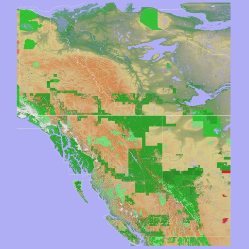
    Scenic Map Western Canada

    Mark Granger

    3D topo map of Western Canada

    The app provides a 3D topographical map of Western Canada. Map data downloads to the device for use without an internet connection, allowing users to view terrain features as small as ten meters.

    ★ 0.00 ratingsNavigation$3.99Data updated 2026-10-10
  2. Scenic Map Eastern Canada app icon

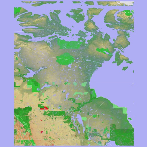
    Scenic Map Eastern Canada

    Mark Granger

    3D topographic map of Eastern Canada

    The app presents a 3D topographic map of Eastern Canada. Users can download map data for use without an internet connection, suitable for various travel methods.

    ★ 0.00 ratingsNavigation$3.99Data updated 2026-10-10
  3. TabiRun app icon

    TabiRun

    Hiroki Kijima

    ★ 0.00 ratingsHealth & FitnessFreeData updated 2026-09-06
  4. Mediterranean Sea HD GPS Chart app icon

    Mediterranean Sea HD GPS Chart

    Flytomap

    Worldwide marine and outdoor maps.

    The app provides worldwide marine and outdoor maps, satellite imagery, and terrain overlays. It offers local marine weather forecasts, tide data, and wind information, functioning without mobile coverage.

    ★ 0.00 ratingsNavigation$13.99Data updated 2026-10-04
  5. Mediterranean Sea GPS Charts app icon

    Mediterranean Sea GPS Charts

    Flytomap

    Navigate with satellite maps and offline coverage

    View marine with satellite and terrain overlays. Access local weather forecasts. Use NOAA raster for navigation. Track position and route. Share maps and waypoints. Work offline without mobile coverage.

    ★ 0.00 ratingsNavigation$12.99Data updated 2026-09-08
  6. Germany HD GPS Nautical Chart app icon

    Germany HD GPS Nautical Chart

    Flytomap

    Explore marine and outdoor maps.

    The app provides worldwide marine and outdoor maps, satellite imagery, and terrain overlays. It offers local marine weather forecasts, route planning with unlimited waypoints, and track recording without needing a cellular signal.

    ★ 0.00 ratingsNavigation$19.99Data updated 2026-11-05

How we rank alternatives

Apps are ranked by functional similarity, category fit, rating confidence, and popularity.