Provides detailed offline maps and GPS waypoints for canyoneering, slot canyon hiking, and climbing. Includes route descriptions, roadside attractions, and river float information.
Search for graves across 250 million entries in half a million cemeteries. Add memorials with photos and GPS locations. Upload multiple graves by photographing and transcribing them. Request headstone photos or capture images directly.
Find fishing spots with of rivers, lakes, and streams. View property boundaries to stay legal. Locate access points, boat ramps, and local shops. Use the River Measuring Tool to track conditions and log fishing success.
Find trails with detailed GPS routes, elevation profiles, and interactive maps. View photos and expert insights for each trail. Search for hikes by location or area. Plan routes with suggested highlights and difficulty levels.
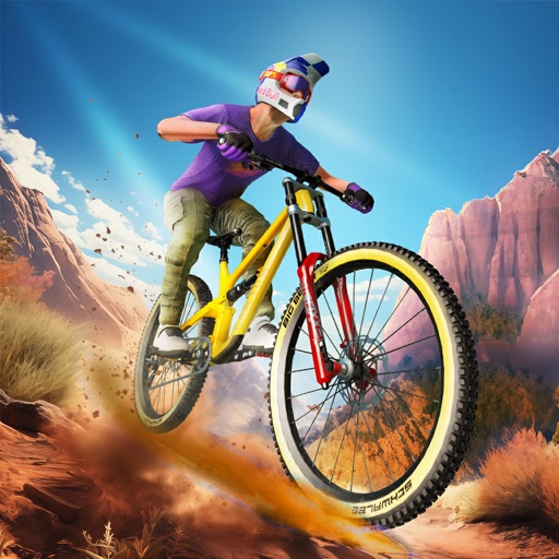
Race in downhill and jumps modes with realistic physics and terrain challenges. Customize bikes with parts and upgrades. Compete against global players in online races. Track progress and unlock achievements. Share results on social media.
Study with intelligent mode that tracks progress, highlights struggling areas, and prioritizes key questions. Review detailed statistics, access full question banks, and focus on unmastered topics for effective learning.
Access maps with interactive zoom and detailed views. Explore countries, U.S. states, Canadian provinces, and ocean floor contours. View political boundaries and geographic features. Navigate and zoom for detailed information.
Create and share unique quote pictures and wallpapers from a gallery of high-resolution images. Add to photos, customize layouts, and share via email, text, or social networks. Set daily to appear on home screen or notifications.
Identify coins using AI-powered image recognition. Take a photo or upload an image of a . Compare it to a database for accurate results. Retrieve details such as name, country of origin, year, and population.
Track dives with automatic logging and gas consumption monitoring. View dive depth, time, and location data. Support for recreational and technical scuba diving, including single-gas, multi-gas, and closed-circuit rebreather modes.
Identify fish species using camera input. View size and bag limits based on GPS location. Check supported regions and upcoming additions. Manually search all species and fish rules. Subscribe for additional features.
Displays current location using GPS on a high-resolution topo map. Includes an index to over 1,000 locations in Utah’s Central mountains. Allows users to navigate trails, view elevation data, and access detailed route information.
Navigate interactive maps for locations including Customs, Interchange, Woods, Shoreline, Factory, Labs, Streets, Reserve, Lighthouse, and Ground Zero. Locate over 1500 loot items such as caches, weapon boxes, and quest items.
View and download 30-minute workouts with scenic trail routes in Hawaii, national parks, cities, and mountains. Choose from various exercise equipment. Preview and download free samples. Purchase videos for 99 cents each. Sync with music playback.
Receive live warnings with real-time tracking across all 50 states. View active warnings with polygon boundaries on maps. Access affected population and county data. Get daily activity summaries.
Document and share headstone photos from cemeteries worldwide. Search for specific graves, add notes and location details. Submit photos for verification and help build a family history database.
Access digital tickets and share them for easy entry. View event schedules, customize your calendar, and receive alerts for track events. Explore interactive maps and mobile ordering options to enhance your on-site experience.
Explore a pixel-art canyon to fish for various species with realistic AI behavior. Complete quests and upgrade gear to enhance fishing skills. Track progress through an RPG-style experience.