Apps Like BitMaps: Bite-Size Map Widgets for iPhone and iPad
Navigate and view your current location
Explore and arrange spatial maps within your environment. Search for nearby locations and view detailed information. Check current location and view Look Around scenes on an infinite canvas. Stay aware of surroundings without navigation features.
by Michael Steeber★ 0.00 ratingsNavigation$2.00Data updated 2026-09-06
Browse curated trail guides offline. View detailed maps, photos, and route descriptions. Download trail information directly to your device. Search for by location and difficulty. Save and access trail details without an internet connection.
Explore a 160-acre wildlife park with a detailed map and navigation tools. View exhibit information for activities, create a daily itinerary, and plan your visit in a preferred order.
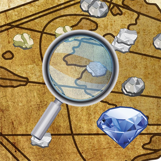
Locate natural resource sites on interactive maps. Search for gold, silver, and gemstone mines. View detailed information about over 300,000 locations. Filter by mineral type and geographic area. Save and share prospecting sites.
Plan routes with -specific GPS directions to avoid low bridges, restricted roads, and tight turns. Set speed limits and weight restrictions. Track vehicle location and fuel efficiency.
Monitor vehicle surroundings with Live View and Smart Sense Parking. Track driving behavior with Roadwatch AI. Record and review footage in Witness Mode. Access subscription features for enhanced security and awareness.
Explore country maps with detailed location data and access comprehensive fact book information. Search for country-specific details, view retina vector maps, and navigate between locations with intuitive zoom and pan features.
Plan trips by downloading city maps and searching routes via subway, bus, tram, or railway. View real-time maps and surrounding areas. Find optimal paths from current location without needing internet after installation.
Use the official Metro Map to plan routes. Find the path between stations. View real-time updates and service alerts. Get step-by-step navigation within the metro system.
Plan routes tailored to type and preferences. View detailed cycling maps with safe path options. Use turn-by-turn voice navigation for cyclists. Record rides to track progress and favourite routes.
Find public machines worldwide. Filter locations by machine type, operator, or location. Save favorites. View recent activity near you. Add or remove machines to update the map. Comment on machine conditions.
By searching, shuffling, or using current location. Browse top sights and restaurants. View sights on maps, read reviews, and discover nearby locations. Access city summaries and review highlights using Google Places SDK and Apple Intelligence.
Navigate with real-time route planning and step-by-step directions. View maps with pan and zoom capabilities. Access offline maps and station information. Search for stations and plan journeys.
Memos tied to specific locations on a map. Add notes about places you discover, favorite spots, or travel destinations. View memos based on current location or saved favorites. Share memos with others via email or social media.
View nearby towers on a map using current location. Tap on towers to see detailed information including signal strength, carrier, and ID. Optimize mobile network performance by identifying optimal locations.
Access offline maps with zoom features and AR navigation. View interactive points of interest including public transport, restaurants, and attractions. Explore daily itineraries and budget-friendly accommodations.
View trail with detailed route information and park amenities. Search for hiking or running trails in Rochester and the Finger Lakes region. Access professional trail data and explore park features directly on your device.
The app provides official subway maps for Paris, France, including Metro, RER, and Bus lines. It features a journey planner that works without a network connection and locates nearby stations.
View topographic and thematic of ski areas including Blackcomb and Olympic Park. Access trail descriptions and elevation profiles. Use location features to see current position on .