

Apps Like INMAPZ AUDITOR for iPhone and iPad
INMAPZ AUDITOR screenshots
Ranked alternatives
Showing 581–600 of 1,000 ranked alternatives.



Peak - Altimeter GPS Barometer
Immaginet Srl
Navigate with AI and weather data
Track elevation and location using AI-powered and GPS. Access real-time weather forecasts based on barometric pressure. Use compass for direction and calculate sunrise/sunset times. View POIs and integrate with AI chatbot for contextual information.

Route Planner - GPS MGRS UTM
Ivan Blajic
Plan routes, view maps, and overlay grids
View maps in multiple styles and overlay grids for precise navigation. Access live location data including coordinates, address, heading, and speed. Plan routes with detailed terrain analysis and save custom waypoints.


FL Parks: Map & Guide
Benjamin Staab
Explore parks, view maps, track weather
Explore state parks with detailed offline maps and trail info. Track distance from current location. View real-time weather for each park. Access wildlife and plant guides with Wikipedia links. Find park fee details.

AirIQ Fleet
AirIQ Inc
Track assets and manage fleets in real
Track and manage assets with real-time location data, event type, date and time, speed, odometer, engine hours, fuel level, battery voltage, and status. View interactive maps for vehicle and equipment monitoring.

Travel Camera & GPS Navigation
Kanad Vekariya
Navigate with 3D city views and real-time
Navigate using real-time 3D city views with realistic architecture and dynamic lighting. Explore landmarks and buildings with immersive street-level visualization. Rotate and tilt 3D scenes for better orientation.
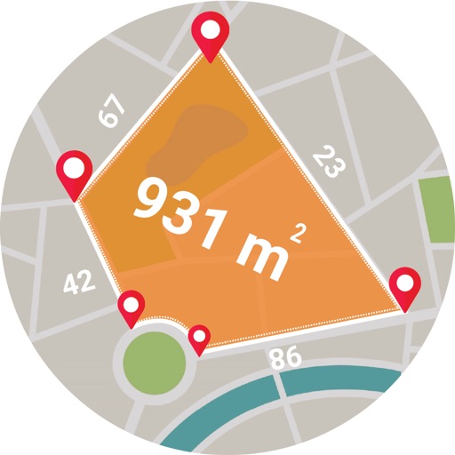
Live GPS Land Area Calculator
Muhammad Asad Khan
Measure areas and distances with GPS
Calculate areas, plots, and distances using GPS technology. Draw and map regions on a map. Measure perimeter and of custom shapes. Save and share measurement data. Export maps in various formats.


Outdoor Navigation ape@map
Onyx Technologie OG
Outdoor and Hiking Navigation ape@map
The app provides offline GPS navigation for outdoor activities. It includes over 70,000 tours for hiking, biking, and skiing, with details like reviews, elevation models, text, and images.
How we rank alternatives
Apps are ranked by functional similarity, category fit, rating confidence, and popularity.