Create 3D layouts with precise measurements. Measure distances and surface areas using augmented reality. Export scans as PDF or other file formats for easy sharing and reference.
The app measures distances between map waypoints and surface areas of polygons. Users can select measurement units including kilometers, miles, and nautical miles.
Use maps and satellite imagery to locate and measure roofs for solar installations. Enter addresses or zip codes to find target roofs. Define roof boundaries and input pitch angles. Instantly calculate suitability for PV or thermal systems.
Measure color temperature in Kelvin with ±2-8% accuracy. View color spectrum from 360nm to 800nm. Display RGB values and luminance. Save and export measurement data. Compare light sources side by side.
Read tags to view manufacturer details, serial numbers, memory size, and available technologies. Access iCloud-synced read history. Write text or URLs to tags using the built-in tool. Lock tags to prevent unauthorized access.
Track speed, distance, altitude, and heading using GPS. View latitude and longitude coordinates. Monitor sunrise and sunset times. Record acceleration data. Save journey logs for later review. Share trip details via email or social media.
Search for and add new devices to a system. Define system settings and connect devices. Create user accounts and manage permissions. Sync with Pro for advanced configurations.
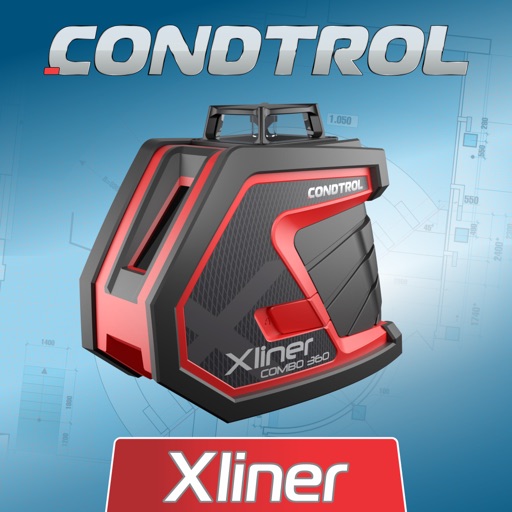
The app offers tools for home decoration, picture alignment, and angle measurement. It can also be used for slope projection and checking the verticality of partitions or furniture.
Measures sound levels in real-time using video and audio modes. Records video and audio simultaneously. Alerts users about noise exposure risks. Includes a built-in camera for location documentation. Allows sharing of recorded files.