Track flight paths and waypoints. Display real-time GPS data and altitude. Set navigation targets and receive turn-by-turn guidance. Monitor weather conditions and air traffic. Save and share flight logs. Sync with external devices for telemetry.
The app provides pilot weather and notam information from Airservices Australia. Users can submit flight notifications, amend flight plans, and access location briefings and charts.
Explore properties using 3D visualization and detailed data cards. View terrain topography with contour lines. Identify and map properties with ease. Check fiber optic availability and groundwater details. Access property data with one tap.
Manage ride requests and track earnings. Complete trips to earn rewards. View trip details and payment history. Set availability and receive notifications for new ride requests. Adjust driver settings and review performance metrics.
Select a destination and download guided . View all tour details at a glance. See detailed route overviews with distance indicators and landmarks. Access on- and offline maps with highlighted routes. Use GPS to follow easily.
The app provides aviation navigation for Southern Africa with a GPS moving map and detailed airfields database. It includes airspace information, flight planning, and an E6B calculator for enhanced situational awareness.
Track flights in real-time with radar maps worldwide. Identify aircraft by pointing your device at them. Monitor family and friend flights to coordinate airport meetings. View status and route details.
Access real-time sea surface temperature maps, high-definition satellite imagery, and marine weather . Track water color, currents, tides, and moon phase. Mark and save GPS locations for temperature breaks and color barriers.
Calculate driving , flight , and fuel costs between locations. View travel time and elevation data. Convert results to miles, kilometers, meters, or feet. Find coordinates in DMS or decimal format. Display road maps for routes.
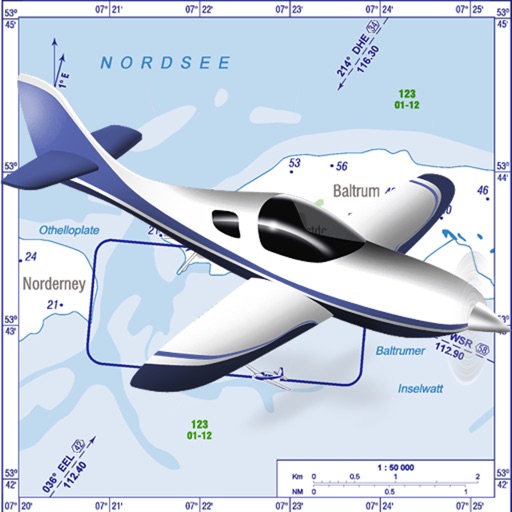
VFR charts for German airfields and helicopter sites.
The app provides VFR charts for German airfields and helicopter landing sites, including French AIP maps. Users require an account for content downloads and map updates, with monthly updates available for a fee.
Measure areas and calculate distances using GPS. Draw polygons on maps to calculate field areas. Save and share data. Access detailed maps and satellite imagery for accurate surveying.
Capture photos with GPS, date, and time tags. View live cameras from various locations. Explore 360-degree panoramic images. Navigate using an interactive 3D Earth map. Check real-time traffic and travel updates.
Book in real-time across hotels, apartments, cottages, villas, and treehouses. Filter options from over 20 million listings on 100+ booking sites. Search popular platforms like Airbnb and Booking.