Track steps, distance, and calories burned during runs or walks. Set goals and receive notifications for progress. Earn in-game coins and collect animals through completed sessions. Sync data with Apple Health and view detailed activity reports.
Track rides with breadcrumb navigation, distance measurement, and trip analysis. Manage snowmobiles with maintenance reminders and customization options. Access interactive maps for trail exploration and real-time navigation.
View for matches with real-time updates. Check quick score summaries and full scoreboards for T20, ODI, and Test games. Receive score updates on the iPhone lock screen. Track tournament progress and access latest news.
Plan and manage running, hiking, or biking routes using map-based tools. Calculate distances for routes, estimate calorie burn, and set training goals. Import and export routes. Sync with fitness trackers.
The app provides detailed outdoor maps with elevation and trailhead locations. It allows users to track and log outdoor activity without a mobile signal and build an online outdoor journal to share adventures.
Track workouts and activity data using HealthKit. Log exercises, set goals, and monitor progress. Find and join outdoor fitness sessions. Sync data with Apple Health. Share workout details with others.
The app provides access to a community forum for reading and posting topics, pictures, and reports. It connects individuals interested in preserving the Great Lakes for future enjoyment.
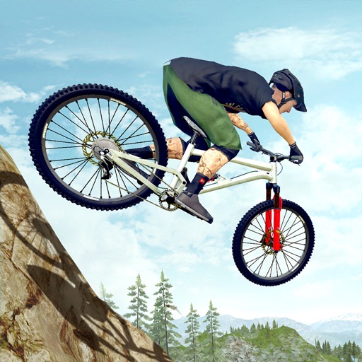
Drive vehicles over challenging terrains with realistic physics and terrain feedback. Control acceleration, braking, and gear shifts. Complete missions with time limits and obstacles. Unlock new vehicles and tracks.
And compare exhaust sounds of BORLA® ATAK™, S-Type, and Touring systems on specified vehicles. Includes startup, launch, drive-by, in-cabin, and exterior audio. Provides technology overviews on iPad.
View facility information and program details. Register for activities and reserve picnic shelters. Receive notifications about events and cancellations. Access an interactive activity guide.
Record hikes with geotagged photos and track performance metrics like distance, speed, calories burned, and effort. Navigate with an altimeter, route alerts, and automatic points of interest with vocal descriptions.