Track , distance, and performance with real-time GPS data. Display in mph and km. Log trips and view historical records. Set alerts and monitor journey details. Sync data across devices for ongoing performance analysis.
Displays speed and distance using GPS. Tracks maximum speed with vibration alerts. Shows position and time of maximum speed on a map. Switches between light and dark modes. Notifies of GPS measurement errors. Supports motorcycles, cars, and planes.
Track vehicle locations in real time with precise GPS data. View historical routes and stop points. Receive alerts for geofence violations and low fuel. Manage multiple vehicles from a single interface. tracking devices remotely.
Measure geographical orientation with a precise . Display longitude, latitude, altitude, weather, and magnetic field data. Record location points and view saved travel history.
Convert values between units in 22 categories including acceleration, angle, area, and data storage. Support currency exchange for 160 currencies. Search units by category or globally. Bookmark frequently used conversions.
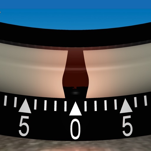
Measures roadway curve angles in degrees. Calculates combined effects of superelevation, vehicle roll, and lateral acceleration. Provides advisory speed recommendations for horizontal curves. Syncs with devices for data storage and analysis.
Navigation allows users to view property line , parcels, and public lands. Access land ownership details and map layers for 50+ states including hunting zones and restricted areas.
Track with high-precision GPS. Record trips and display real-time data on a head-up display. Receive speeding alerts. Navigate with integrated map support. distance, time, and elevation. Share trip data.
Secure data transfer with visualized network control
Provides real-time network monitoring with latency, jitter, and loss visualizations. Users can perform speed tests with animated progress and save results. Configure network settings with built-in tools for URL and folder connections.
Navigation displays current, average, and maximum along with distance traveled. Supports mph and km/h. Shows location on a map and offers projection display mode. Requires location access for accurate tracking.
Track with real-time alerts when exceeding set limits. Choose between KM/H or for customizable units. Display in multiple formats including analog and digital dials. Share data via email or social media. Set and adjust limits remotely.
Monitor vehicle health with real-time diagnostics. Inspect ignition, exhaust, and electronic systems for faults. View fault codes with three severity levels. Clear stored fault codes from the ECU. Analyze driving patterns to improve efficiency.
Monitor vehicle performance with real-time gauges and graphs. Track fuel economy to reduce gas costs. Diagnose issues using the on-board ECU. Troubleshoot malfunctions without a mechanic. Access detailed performance data and save money on fuel.