Receive and transmit real-time AIS data to track nearby vessels and avoid collisions. Share your position with others. Get collision warnings based on real-time ship movements.
GPS tracks current speed, distance, and altitude. Displays average and maximum speed. Shows speed limits in real time. Supports mph, km/h, and knots. Measures travel time and battery level. Works offline.
Track current with coordinates, altitude, and address. via Facebook, Twitter, Mail, Message, or copy to paste elsewhere. Use compass mode to determine direction. Toggle between Standard and Hybrid map types.
Determine Qibla direction using current location or manual city selection. Display compass rose with north indicator. Show direction on map. Adjust settings for display preferences. Provide feedback option for user input.
Display the direction and distance to the Kaaba using a interface. Tap the Adhan button to trigger a sound. Adjust device orientation to align the Kaaba indicator for navigation.
Navigate with precision and explore trails efficiently
Navigate with multiple styles, including analog and digital interfaces. Set and track waypoints, view elevation data, and receive turn-by-turn guidance. Sync with GPS devices and share route maps.
View and download high-resolution 4K wallpapers for your device. Browse curated collections and personalize your screen with various image options. Share wallpapers with friends via social media or messaging apps.
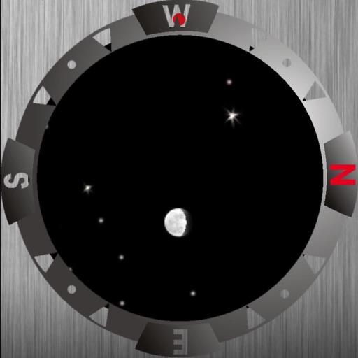
Identify stars, planets, and constellations using real-time sky maps. Point device to locate celestial objects. View satellite passes and track planetary movements. Receive detailed information on selected objects.
View METAR and TAF reports for global airports. Access TFRs and NOTAMs for every airport. Receive AIRMETs, SIGMETs, and CWA alerts with worldwide coverage. See 3D runway views and airport diagrams for the U.S. and South Africa.
Measure distances and angles using a rangefinder and inclinometer. View GPS coordinates and map overlays. Take geo-tagged photos and videos. Use a compass and navigation calculator for orientation and route planning.
Displays the direction for prayer worldwide using a compass. Provides accuracy alerts for interference or low precision. Works offline and globally without requiring internet connection.
Track with real-time GPS data and accuracy. View trip distance using a digital odometer. Access HUD mode for display on the windshield. Set customizable alerts. Function without an internet connection.