

Apps Like CompassOverlay for iPhone and iPad
CompassOverlay screenshots
Ranked alternatives
Showing 321–340 of 1,000 ranked alternatives.



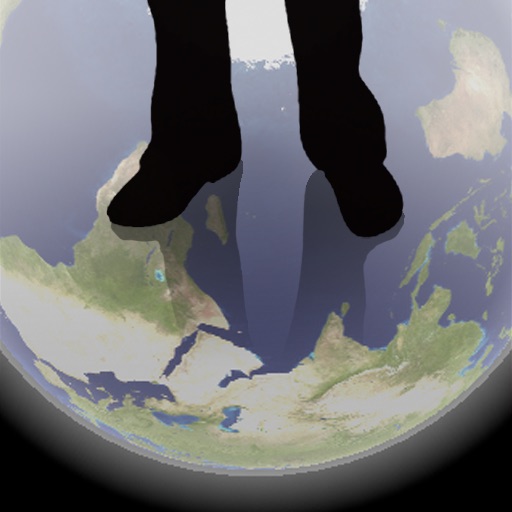
Transparent Earth -See the other side of the earth
Makoto Sato
See through the earth's surface.
The app shows a transparent view of the earth, allowing users to see the other side of the world beneath their feet. It displays the positions of major cities on a reversed blue marble through a camera overlay view.


My Altitude: Elevation
Shenzhen Jirry Jirry Technology Co., Ltd.
Track altitude and direction in real time
Track altitude with real-time measurements. Use a sensitive compass for accurate direction. Capture latitude and longitude data via camera. Monitor atmospheric pressure and magnetic field readings. Check real-time location data and sync with maps.

Backtrack: GPS Adventure Maps
Slope LLC
Plan routes, share locations, navigate trails
Create and share by drawing routes and adding markers for campsites and start points. Collaborate with others to edit and view in real time. Navigate trails, track progress, and receive turn-by-turn directions.


Waaaaay!
Ryota Ayaki
Navigation for the directionally challenged.
The app provides navigation with an arrow pointing to the destination and the remaining distance. Users can search for places, view their position on a map, and see the distance on their Lock Screen.

Car Compass
CrioSoft LLC
Navigate and save locations easily
Save custom locations for easy access. Choose between Google Maps, Apple Maps, or Waze for navigation. Navigate offline without an internet connection. Sync locations across devices. Share saved spots with others.

DeerBrain
DeerBrain LLC
View photos, identify deer, track progress
View and analyze photos quickly in the field using the ChipReader. Identify low pressure areas on hunting land. Track deer movement patterns to locate activity zones. Save and review image data for hunting insights.


Show Off App
The Show Off App, LLC
Schedule showings and manage appointments
Navigation allows users to schedule house showings, assign agents to properties, and track showing agents in real time. Agents can view available showings, set up appointments, and navigate to locations efficiently.

Gps Status - record your track
Beijing Zhiyue Information Technology Co., Ltd
Location, speed, and elevation
Location with latitude, longitude, and elevation. Use compass and speedometer for navigation. paths and share data or current location with friends. View battery and pressure readings. Support 3D touch for iPhone6 and iPhone6 Plus.

AGRIplot
Sharpe Technology Consulting
Plot areas and calculate distances.
The app plots areas on a map by adding landmark points or dropping pins. It calculates enclosed area and distances between points, with options to add interest points and photos.

How we rank alternatives
Apps are ranked by functional similarity, category fit, rating confidence, and popularity.